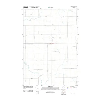
2010 Map of Curtiss
USGS Topo · Published 2010About this map
Curtiss stands at the heart of this agricultural landscape in Clark County, characterized by a grid-iron road network and the winding tributaries of the North Fork Popple River. The village layout is concentrated near the intersection of County Hwy-Rd E and Willow Rd, with local history anchored at the Curtiss Cemetery just west of the main settlement. Further south, the map shows the small community of Atwood near the convergence of the South Fork Popple River and East Fork Popple River. This rural topography reveals a landscape shaped by drainage and farming, where family-named roads like Romadka Ave and Felsdorf Ave divide the land into sections typical of Wisconsin's dairy country. The presence of Pine Hill Cemetery on Pine Rd provides further genealogical landmarks for those tracing roots in this part of the state.
Find a feature on this map
34 named features on this map. Tap any name to fly to it.
Don’t see what you’re looking for? This feature index may not catch every label — zoom into the map to look around manually.
Map Details
Editions of this 2010 Curtiss Map
This is the sole edition of this map. No revisions or reprints were ever made.
Other maps of this area

1951 · Lublin
USGS Topo · 1:48,000

1951 · Medford
USGS Topo · 1:48,000

1953 · Abbotsford
USGS Topo · 1:48,000

1953 · Owen
USGS Topo · 1:48,000

1953 · Eau Claire
USGS Topo · 1:250,000

1953 · Rice Lake
USGS Topo · 1:250,000

1958 · Eau Claire
USGS Topo · 1:250,000

1959 · Rice Lake
USGS Topo · 1:250,000

1963 · Abbotsford
USGS Topo · 1:62,500

1963 · Owen
USGS Topo · 1:62,500