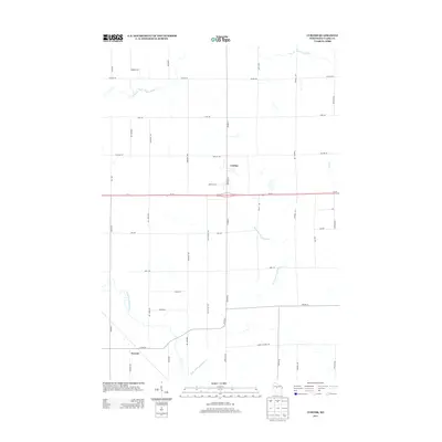
2013 Map of Curtiss
USGS Topo · Published 2013About this map
Curtiss and the smaller settlement of Atwood anchor this central Wisconsin landscape, which is defined by the convergence of the Popple River's many branches. The North Fork Popple River and East Fork Popple River meander through the northern and eastern reaches, while the South Fork Popple River cuts through the southwestern corner. This area reflects a grid-based rural development pattern, with arterial roads like Wi-29 bisecting the territory. Local history is etched into the landscape via family-named thoroughfares and industry-linked paths such as Colby Factory Rd, pointing to the region's agricultural and dairy-processing roots. The map captures the interface between these small village centers and the drainage basins of Dill Cr, providing a clear view of the drainage and road networks that supported this Clark County community.
Find a feature on this map
34 named features on this map. Tap any name to fly to it.
Don’t see what you’re looking for? This feature index may not catch every label — zoom into the map to look around manually.
Map Details
Editions of this 2013 Curtiss Map
This is the sole edition of this map. No revisions or reprints were ever made.
Other maps of this area

1951 · Lublin
USGS Topo · 1:48,000

1951 · Medford
USGS Topo · 1:48,000

1953 · Abbotsford
USGS Topo · 1:48,000

1953 · Owen
USGS Topo · 1:48,000

1953 · Eau Claire
USGS Topo · 1:250,000

1953 · Rice Lake
USGS Topo · 1:250,000

1958 · Eau Claire
USGS Topo · 1:250,000

1959 · Rice Lake
USGS Topo · 1:250,000

1963 · Abbotsford
USGS Topo · 1:62,500

1963 · Owen
USGS Topo · 1:62,500