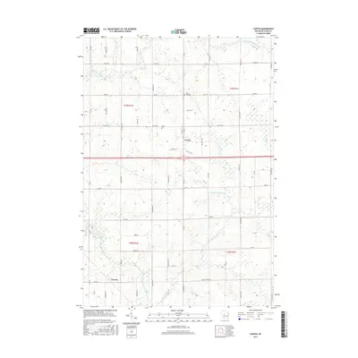
2015 Map of Curtiss
USGS Topo · Published 2015About this map
Curtiss stands at the center of this Clark County landscape, where the rural grid meets the winding tributaries of the Popple River. The area is defined by its agricultural layout, with long-established family roads like Romadka Ave and Pelsdorf Ave segmenting the countryside into a patchwork of fields and woodlots. In the northwest, the North Fork Popple River meanders through the terrain, while the E Fork Popple River and South Fork Popple River dominate the central and southern portions of the quadrangle. Local history is anchored by sites such as the Curtiss Cem and Pine Hill Cem, providing vital reference points for researchers. To the southwest, the small settlement of Atwood sits along Co Rd N, marking a quiet intersection in this dairy-country environment. The intricate network of local thoroughfares, including Colby Factory Rd, reflects the industrial and social connections between these small Wisconsin communities.
Find a feature on this map
41 named features on this map. Tap any name to fly to it.
Don’t see what you’re looking for? This feature index may not catch every label — zoom into the map to look around manually.
Map Details
Editions of this 2015 Curtiss Map
This is the sole edition of this map. No revisions or reprints were ever made.
Other maps of this area

1951 · Lublin
USGS Topo · 1:48,000

1951 · Medford
USGS Topo · 1:48,000

1953 · Abbotsford
USGS Topo · 1:48,000

1953 · Owen
USGS Topo · 1:48,000

1953 · Eau Claire
USGS Topo · 1:250,000

1953 · Rice Lake
USGS Topo · 1:250,000

1958 · Eau Claire
USGS Topo · 1:250,000

1959 · Rice Lake
USGS Topo · 1:250,000

1963 · Abbotsford
USGS Topo · 1:62,500

1963 · Owen
USGS Topo · 1:62,500