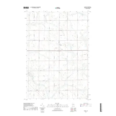
2018 Map of Curtiss
USGS Topo · Published 2018About this map
Curtiss sits at the heart of this agricultural and riparian landscape in Clark County, defined by a dense grid of rural roads and the winding paths of several waterways. The area is intersected by the N Fork Popple River and the South Fork Popple River, which meander through the countryside alongside Dill Cr. Local history is anchored by sites such as the Curtiss Cem and Pine Hill Cem, providing important touchstones for genealogical research. To the southwest, the small settlement of Atwood marks another point of interest. The landscape is characterized by its organized survey grid, with roads like Center Rd and Division Ave framing the sections of farmland and woods that have long sustained this central Wisconsin community.
Find a feature on this map
38 named features on this map. Tap any name to fly to it.
Don’t see what you’re looking for? This feature index may not catch every label — zoom into the map to look around manually.
Map Details
Editions of this 2018 Curtiss Map
This is the sole edition of this map. No revisions or reprints were ever made.
Other maps of this area

1951 · Lublin
USGS Topo · 1:48,000

1951 · Medford
USGS Topo · 1:48,000

1953 · Abbotsford
USGS Topo · 1:48,000

1953 · Owen
USGS Topo · 1:48,000

1953 · Eau Claire
USGS Topo · 1:250,000

1953 · Rice Lake
USGS Topo · 1:250,000

1958 · Eau Claire
USGS Topo · 1:250,000

1959 · Rice Lake
USGS Topo · 1:250,000

1963 · Abbotsford
USGS Topo · 1:62,500

1963 · Owen
USGS Topo · 1:62,500