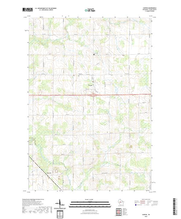
2022 Map of Curtiss
USGS Topo · Published 2022About this map
Curtiss and the southern settlement of Atwood center this landscape in Clark County, defined by the winding tributaries of the Popple River. The topography is marked by the N Fork Popple River in the north and the South Fork Popple River in the south, creating a drainage pattern that has long dictated the layout of local roads and farmsteads. For those looking into local lineage, the Pine Hill Cem and Saint Paul Lutheran Cem. provide critical points of interest, while names like Colby Factory Rd hint at the area's agricultural industrial history. The transition between township boundaries t29n r1w and t28n r1e shows the grid of range lines that organized this dairy-country region.
Find a feature on this map
42 named features on this map. Tap any name to fly to it.
Don’t see what you’re looking for? This feature index may not catch every label — zoom into the map to look around manually.
Map Details
Editions of this 2022 Curtiss Map
This is the sole edition of this map. No revisions or reprints were ever made.
Other maps of this area

1951 · Lublin
USGS Topo · 1:48,000

1951 · Medford
USGS Topo · 1:48,000

1953 · Abbotsford
USGS Topo · 1:48,000

1953 · Owen
USGS Topo · 1:48,000

1953 · Eau Claire
USGS Topo · 1:250,000

1953 · Rice Lake
USGS Topo · 1:250,000

1958 · Eau Claire
USGS Topo · 1:250,000

1959 · Rice Lake
USGS Topo · 1:250,000

1963 · Abbotsford
USGS Topo · 1:62,500

1963 · Owen
USGS Topo · 1:62,500