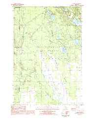
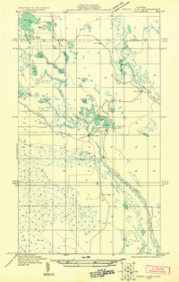
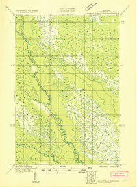
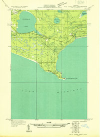
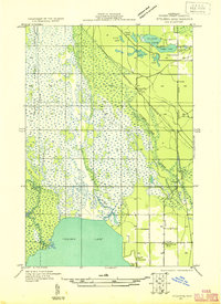
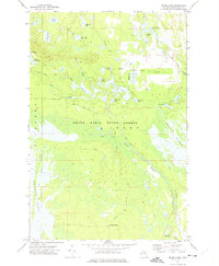
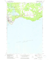
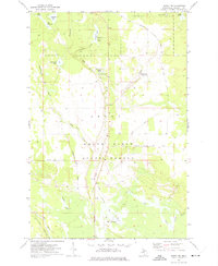
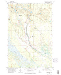
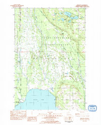
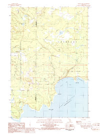
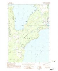
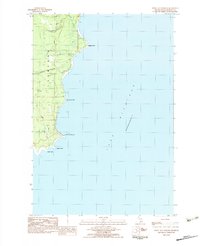
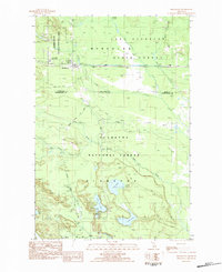
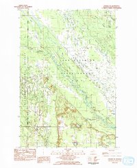
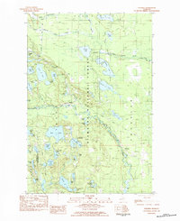
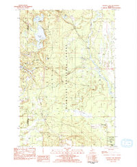
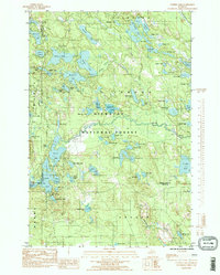
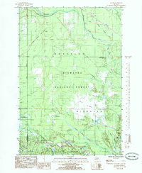
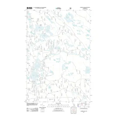
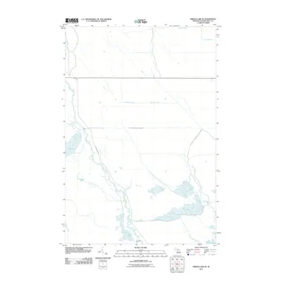
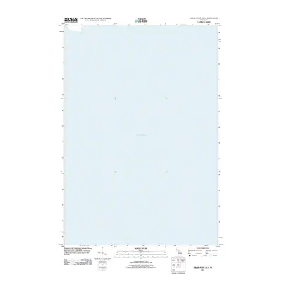
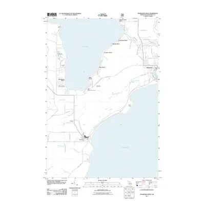
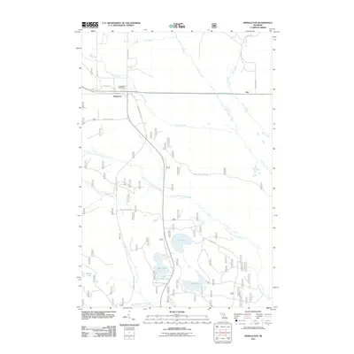
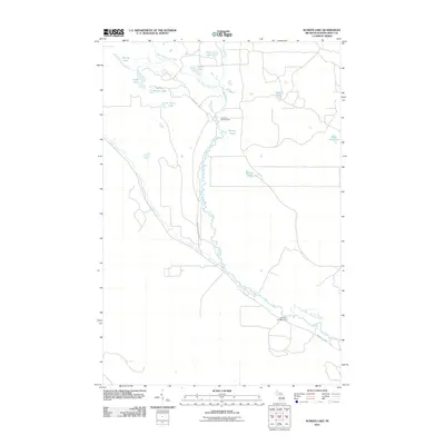
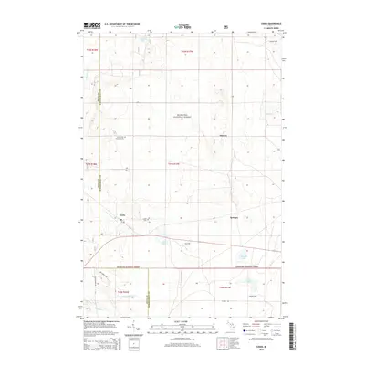
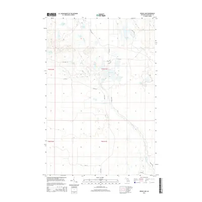
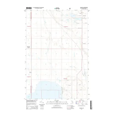
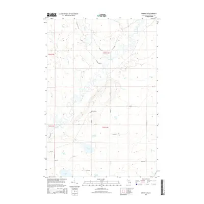
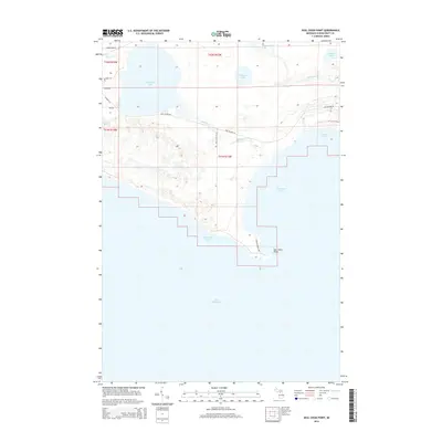
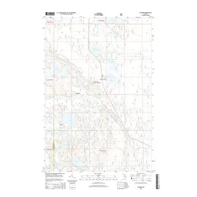
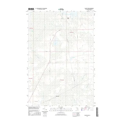
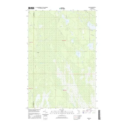
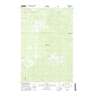
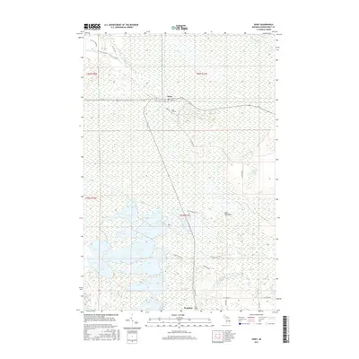
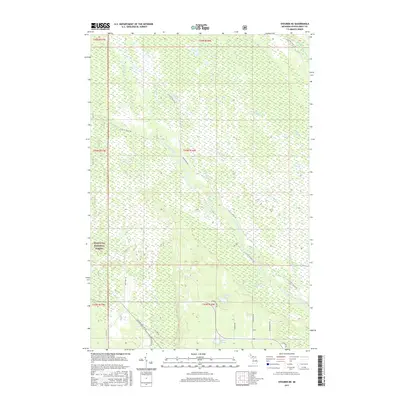
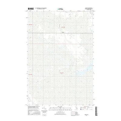
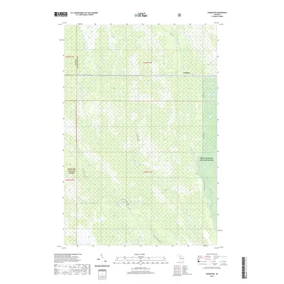
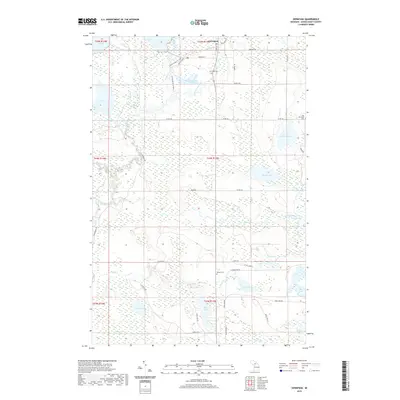
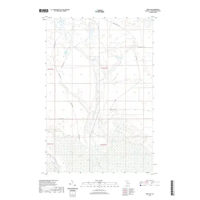
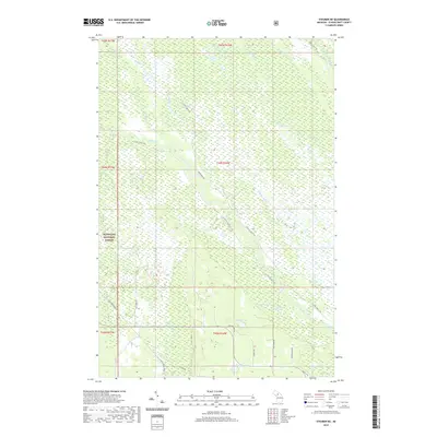
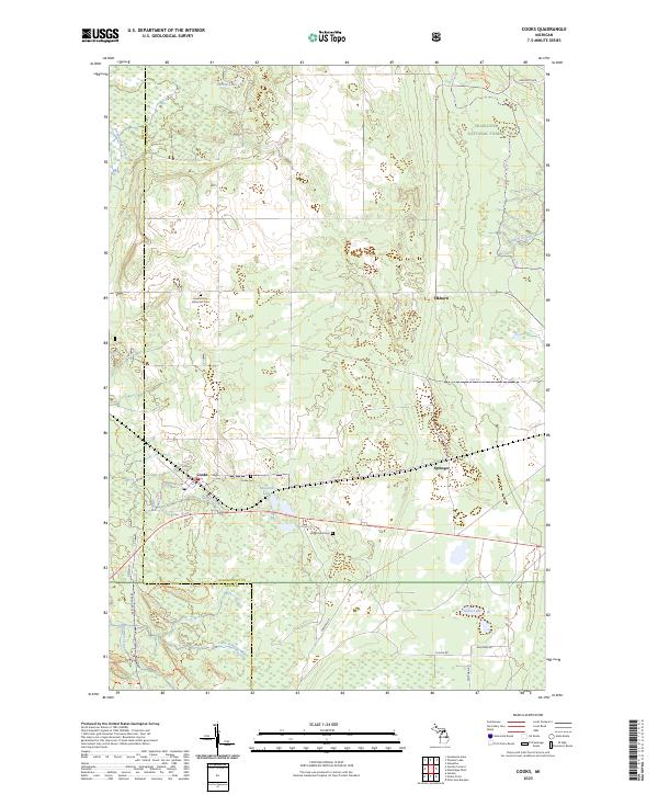
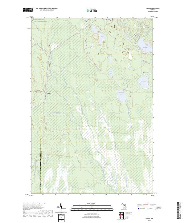
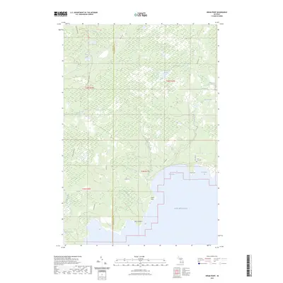
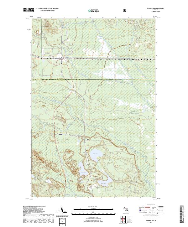
1983 Map of Cusino
USGS Topo · Published 1984About this map
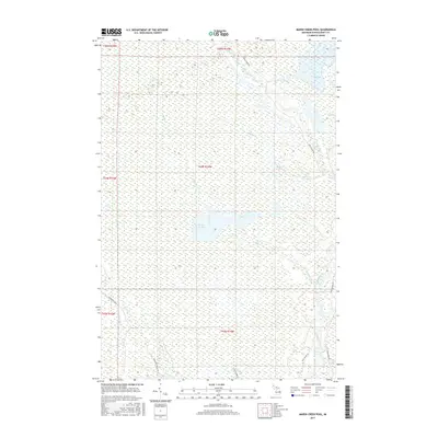
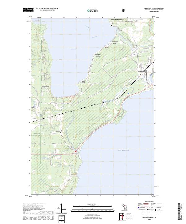
Cusino sits within a dense network of water bodies and timber-hauling routes in the Upper Peninsula, straddling the border of Alger and Schoolcraft counties. The landscape is defined by the heavy presence of public lands, including the Hiawatha National Forest and the Lake Superior State Forest, with the northern edge touching the Pictured Rocks National Lakeshore.
Find a feature on this map
26 named features on this map. Tap any name to fly to it.
Don’t see what you’re looking for? This feature index may not catch every label — zoom into the map to look around manually.
Map Details
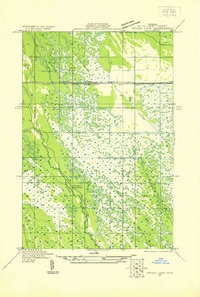
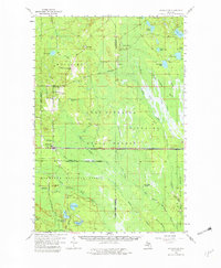
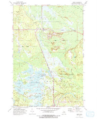
Editions of this 1983 Cusino Map
This is the sole edition of this map. No revisions or reprints were ever made.
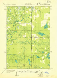
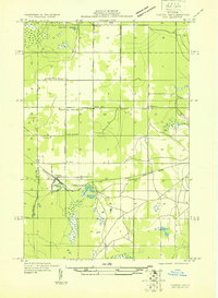
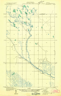
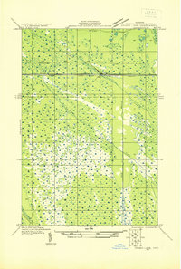
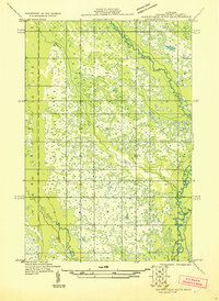
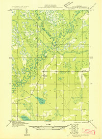
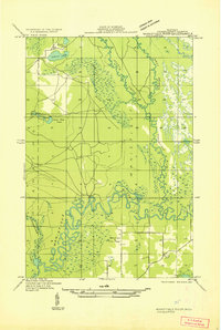
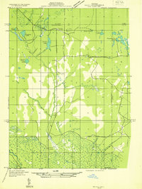
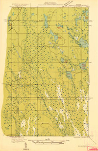
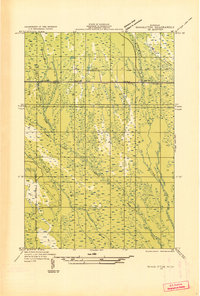
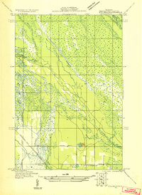
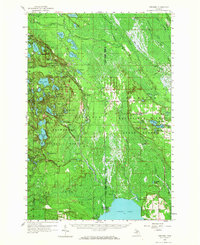
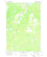
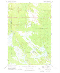
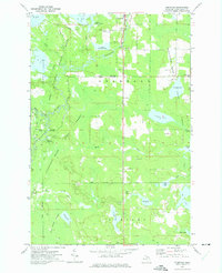
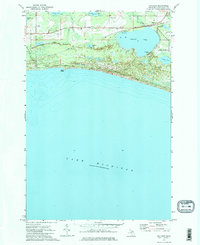
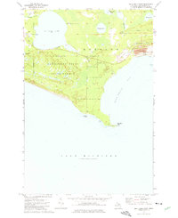
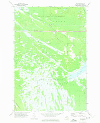
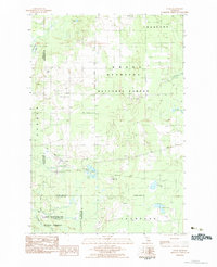
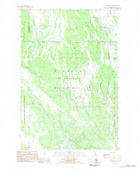
Historical Maps of Munising Township Through Time
200 maps found
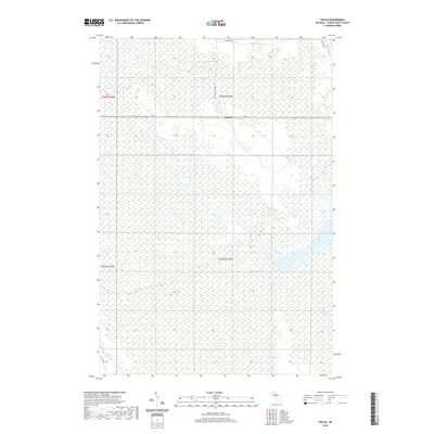
1931 Blaney NW
Schoolcraft County, MI

1931 Blaney SW
Schoolcraft County, MI

1931 Cooks NE
Schoolcraft County, MI
1931 Cooks NW
Schoolcraft County, MI
1931 Driggs Lake NE
Schoolcraft County, MI
1931 Driggs Lake NW
Schoolcraft County, MI
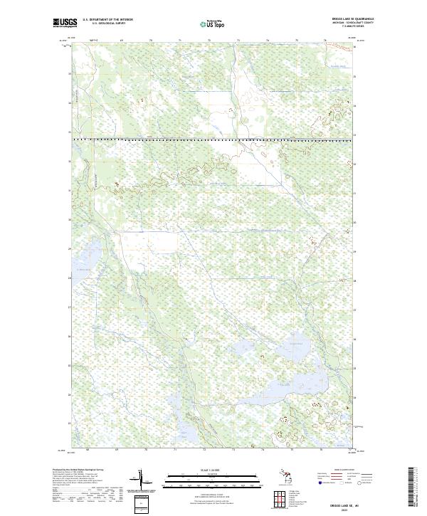
1931 Driggs Lake SE
Schoolcraft County, MI
1931 Driggs Lake SW
Schoolcraft County, MI
1931 Manistique River NE
Schoolcraft County, MI
1931 Manistique River NW
Schoolcraft County, MI
1931 Manistique River SE
Schoolcraft County, MI
1931 Manistique River SW
Schoolcraft County, MI

1931 Munising SE
Schoolcraft County, MI
1931 Seney NW
Schoolcraft County, MI

1931 Seney SW
Schoolcraft County, MI
1931 Seul Choix Point NW
Schoolcraft County, MI
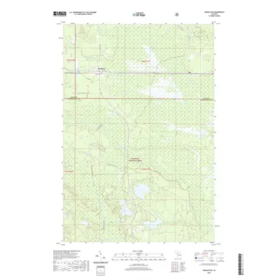
1931 Shingleton NE
Schoolcraft County, MI
1931 Shingleton SE
Schoolcraft County, MI

1931 Shingleton SW
Schoolcraft County, MI

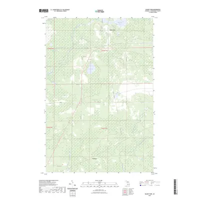
1931 Skeels Lake NE
Schoolcraft County, MI
1931 Steuben NE
Schoolcraft County, MI

1931 Steuben NW
Schoolcraft County, MI
1931 Steuben SE
Schoolcraft County, MI

1931 Steuben SW
Schoolcraft County, MI

1958 Cooks
Schoolcraft County, MI
1958 Shingleton
Schoolcraft County, MI
1958 Steuben
Schoolcraft County, MI
1972 Blaney Park
Schoolcraft County, MI
1972 Driggs Lake
Schoolcraft County, MI
1972 Driggs Lake SE
Schoolcraft County, MI
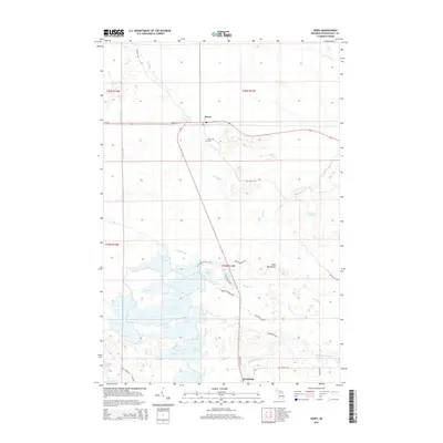
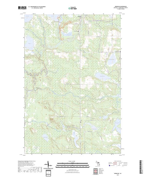
1972 Germfask
Schoolcraft County, MI
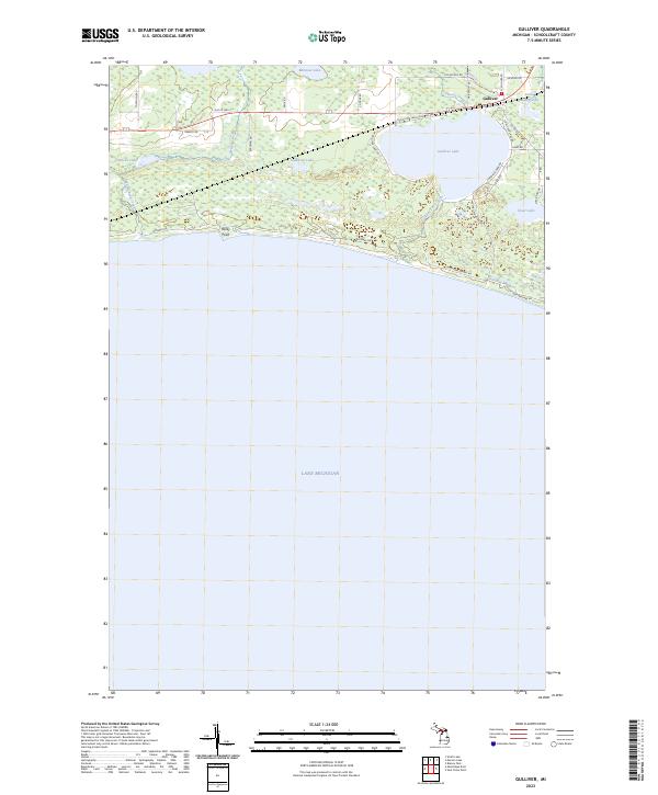
1972 Gulliver
Schoolcraft County, MI
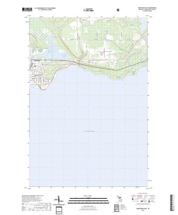
1972 Manistique East
Schoolcraft County, MI
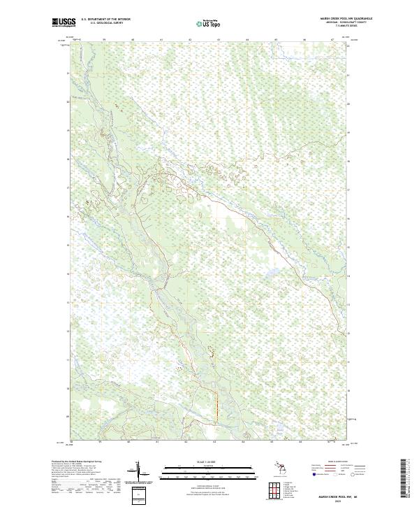
1972 Marsh Creek Pool NW
Schoolcraft County, MI
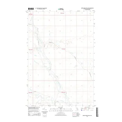
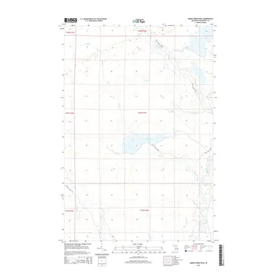
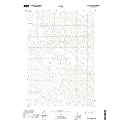
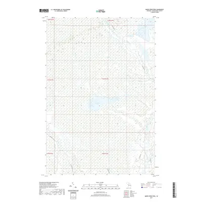
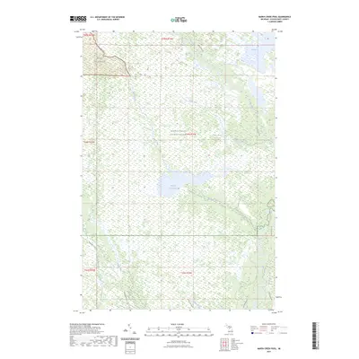
1972 Marsh Creek Pool
Schoolcraft County, MI
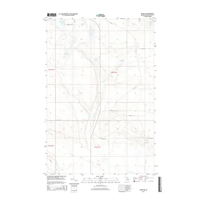
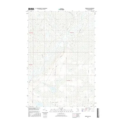
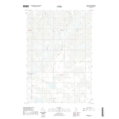
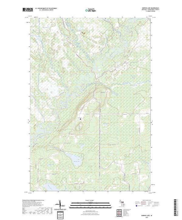
1972 Merwin Lake
Schoolcraft County, MI
1972 Seney NW
Schoolcraft County, MI
1972 Seney
Schoolcraft County, MI
1972 Seul Choix Point
Schoolcraft County, MI
1972 Smith Lake
Schoolcraft County, MI
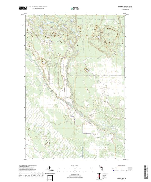
1972 Sunken Lake
Schoolcraft County, MI
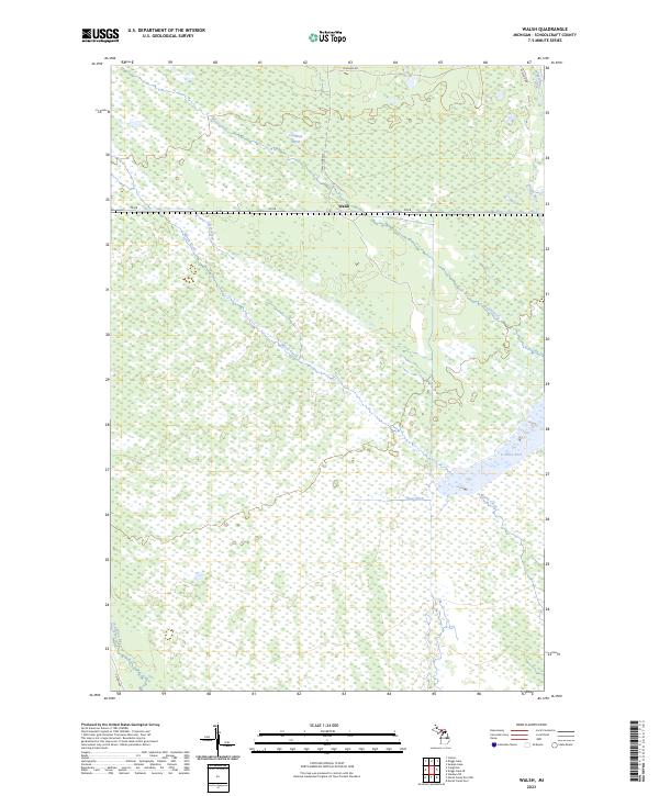
1972 Walsh
Schoolcraft County, MI
1983 Cooks
Schoolcraft County, MI
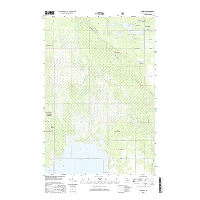
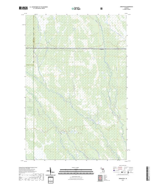
1983 Creighton
Schoolcraft County, MI
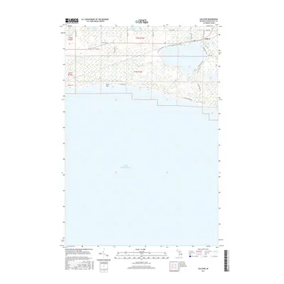
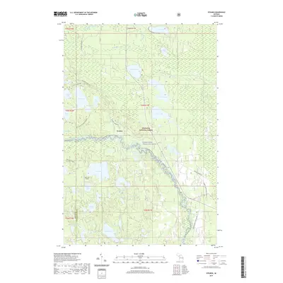
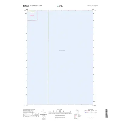
1983 Cusino
Schoolcraft County, MI
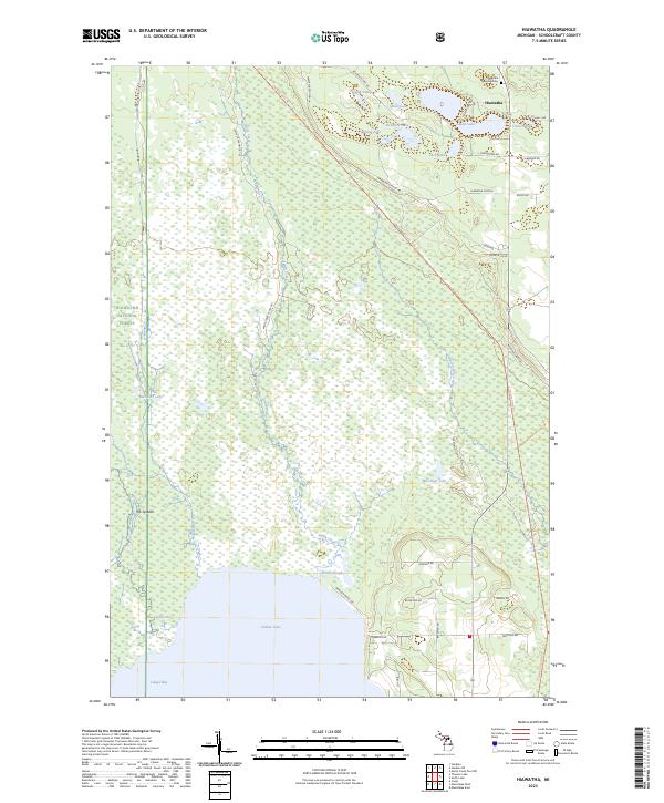
1983 Hiawatha
Schoolcraft County, MI
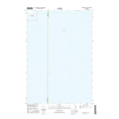
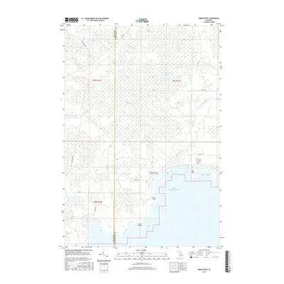
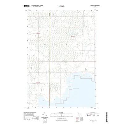
1983 Hiram Point
Schoolcraft County, MI
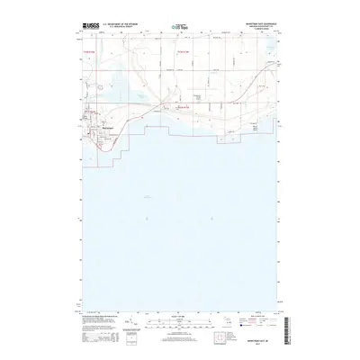
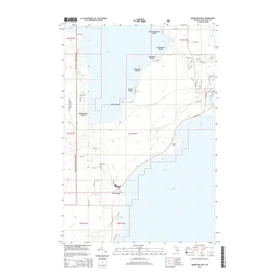
1983 Manistique West
Schoolcraft County, MI
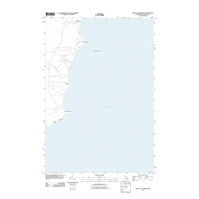
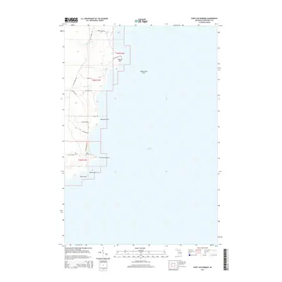
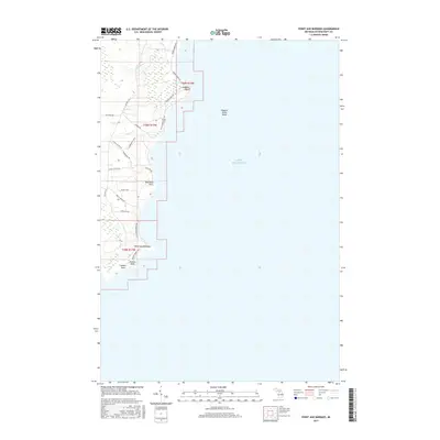
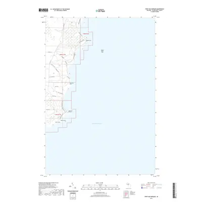
1983 Point Aux Barques
Schoolcraft County, MI
1983 Shingleton
Schoolcraft County, MI
1983 Steuben NE
Schoolcraft County, MI
1983 Steuben
Schoolcraft County, MI
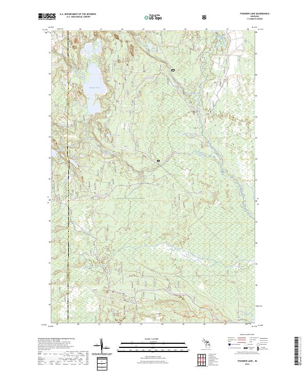
1983 Thunder Lake
Schoolcraft County, MI
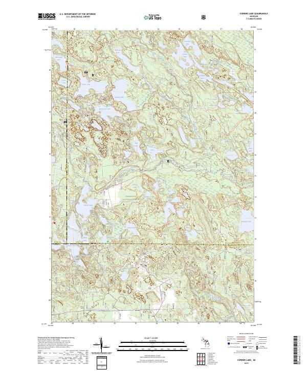
1985 Corner Lake
Schoolcraft County, MI
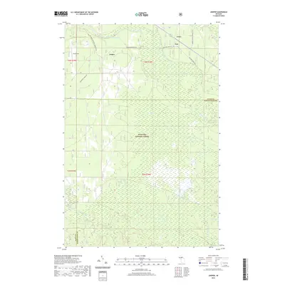
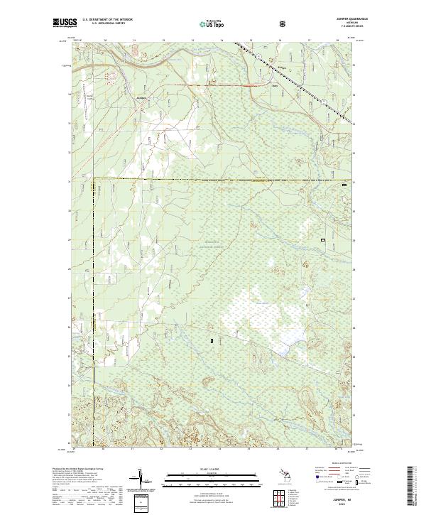
1985 Juniper
Schoolcraft County, MI
2011 Blaney Park
Schoolcraft County, MI
2011 Cooks
Schoolcraft County, MI
2011 Corner Lake
Schoolcraft County, MI
2011 Creighton
Schoolcraft County, MI
2011 Cusino
Schoolcraft County, MI
2011 Driggs Lake
Schoolcraft County, MI
2011 Driggs Lake SE
Schoolcraft County, MI
2011 Germfask
Schoolcraft County, MI
2011 Gulliver
Schoolcraft County, MI
2011 Hiawatha
Schoolcraft County, MI
2011 Hiram Point OE S
Schoolcraft County, MI
2011 Hiram Point
Schoolcraft County, MI
2011 Juniper
Schoolcraft County, MI
2011 Manistique East
Schoolcraft County, MI
2011 Manistique West
Schoolcraft County, MI
2011 Marsh Creek Pool NW
Schoolcraft County, MI
2011 Marsh Creek Pool
Schoolcraft County, MI
2011 Merwin Lake
Schoolcraft County, MI
2011 Point Aux Barques
Schoolcraft County, MI
2011 Seney NW
Schoolcraft County, MI
2011 Seney
Schoolcraft County, MI
2011 Seul Choix Point
Schoolcraft County, MI
2011 Shingleton
Schoolcraft County, MI
2011 Smith Lake
Schoolcraft County, MI
2011 Steuben NE
Schoolcraft County, MI
2011 Steuben
Schoolcraft County, MI
2011 Sunken Lake
Schoolcraft County, MI
2011 Thunder Lake
Schoolcraft County, MI
2011 Walsh
Schoolcraft County, MI
2014 Blaney Park
Schoolcraft County, MI
2014 Cooks
Schoolcraft County, MI
2014 Corner Lake
Schoolcraft County, MI
2014 Creighton
Schoolcraft County, MI
2014 Cusino
Schoolcraft County, MI
2014 Driggs Lake
Schoolcraft County, MI
2014 Driggs Lake SE
Schoolcraft County, MI
2014 Germfask
Schoolcraft County, MI
2014 Gulliver
Schoolcraft County, MI
2014 Hiawatha
Schoolcraft County, MI
2014 Hiram Point OE S
Schoolcraft County, MI
2014 Hiram Point
Schoolcraft County, MI
2014 Juniper
Schoolcraft County, MI
2014 Manistique East
Schoolcraft County, MI
2014 Manistique West
Schoolcraft County, MI
2014 Marsh Creek Pool NW
Schoolcraft County, MI
2014 Marsh Creek Pool
Schoolcraft County, MI
2014 Merwin Lake
Schoolcraft County, MI
2014 Point Aux Barques
Schoolcraft County, MI
2014 Seney NW
Schoolcraft County, MI
2014 Seney
Schoolcraft County, MI
2014 Seul Choix Point
Schoolcraft County, MI
2014 Shingleton
Schoolcraft County, MI
2014 Smith Lake
Schoolcraft County, MI
2014 Steuben NE
Schoolcraft County, MI
2014 Steuben
Schoolcraft County, MI
2014 Sunken Lake
Schoolcraft County, MI
2014 Thunder Lake
Schoolcraft County, MI
2014 Walsh
Schoolcraft County, MI
2017 Blaney Park
Schoolcraft County, MI
2017 Cooks
Schoolcraft County, MI
2017 Corner Lake
Schoolcraft County, MI
2017 Creighton
Schoolcraft County, MI
2017 Cusino
Schoolcraft County, MI
2017 Driggs Lake
Schoolcraft County, MI
2017 Driggs Lake SE
Schoolcraft County, MI
2017 Germfask
Schoolcraft County, MI
2017 Gulliver
Schoolcraft County, MI
2017 Hiawatha
Schoolcraft County, MI
2017 Hiram Point OE S
Schoolcraft County, MI
2017 Hiram Point
Schoolcraft County, MI
2017 Juniper
Schoolcraft County, MI
2017 Manistique East
Schoolcraft County, MI
2017 Manistique West
Schoolcraft County, MI
2017 Marsh Creek Pool NW
Schoolcraft County, MI
2017 Marsh Creek Pool
Schoolcraft County, MI
2017 Merwin Lake
Schoolcraft County, MI
2017 Point Aux Barques
Schoolcraft County, MI
2017 Seney NW
Schoolcraft County, MI
2017 Seney
Schoolcraft County, MI
2017 Seul Choix Point
Schoolcraft County, MI
2017 Shingleton
Schoolcraft County, MI
2017 Smith Lake
Schoolcraft County, MI
2017 Steuben NE
Schoolcraft County, MI
2017 Steuben
Schoolcraft County, MI
2017 Sunken Lake
Schoolcraft County, MI
2017 Thunder Lake
Schoolcraft County, MI
2017 Walsh
Schoolcraft County, MI
2019 Blaney Park
Schoolcraft County, MI
2019 Cooks
Schoolcraft County, MI
2019 Corner Lake
Schoolcraft County, MI
2019 Creighton
Schoolcraft County, MI
2019 Cusino
Schoolcraft County, MI
2019 Driggs Lake
Schoolcraft County, MI
2019 Driggs Lake SE
Schoolcraft County, MI
2019 Germfask
Schoolcraft County, MI
2019 Gulliver
Schoolcraft County, MI
2019 Hiawatha
Schoolcraft County, MI
2019 Hiram Point OE S
Schoolcraft County, MI
2019 Hiram Point
Schoolcraft County, MI
2019 Juniper
Schoolcraft County, MI
2019 Manistique East
Schoolcraft County, MI
2019 Manistique West
Schoolcraft County, MI
2019 Marsh Creek Pool NW
Schoolcraft County, MI
2019 Marsh Creek Pool
Schoolcraft County, MI
2019 Merwin Lake
Schoolcraft County, MI
2019 Point Aux Barques
Schoolcraft County, MI
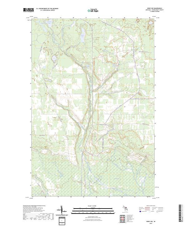
2019 Seney NW
Schoolcraft County, MI
2019 Seney
Schoolcraft County, MI
2019 Seul Choix Point
Schoolcraft County, MI
2019 Smith Lake
Schoolcraft County, MI
2019 Steuben NE
Schoolcraft County, MI
2019 Steuben
Schoolcraft County, MI
2019 Sunken Lake
Schoolcraft County, MI
2019 Thunder Lake
Schoolcraft County, MI
2019 Walsh
Schoolcraft County, MI
2020 Shingleton
Schoolcraft County, MI
2023 Blaney Park
Schoolcraft County, MI
2023 Cooks
Schoolcraft County, MI
2023 Corner Lake
Schoolcraft County, MI
2023 Creighton
Schoolcraft County, MI
2023 Cusino
Schoolcraft County, MI
2023 Driggs Lake
Schoolcraft County, MI
2023 Driggs Lake SE
Schoolcraft County, MI
2023 Germfask
Schoolcraft County, MI
2023 Gulliver
Schoolcraft County, MI
2023 Hiawatha
Schoolcraft County, MI
2023 Hiram Point OE S
Schoolcraft County, MI
2023 Hiram Point
Schoolcraft County, MI
2023 Juniper
Schoolcraft County, MI
2023 Manistique East
Schoolcraft County, MI
2023 Manistique West
Schoolcraft County, MI
2023 Marsh Creek Pool NW
Schoolcraft County, MI
2023 Marsh Creek Pool
Schoolcraft County, MI
2023 Merwin Lake
Schoolcraft County, MI
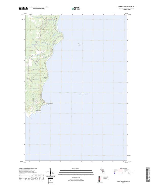
2023 Point Aux Barques
Schoolcraft County, MI
2023 Seney NW
Schoolcraft County, MI
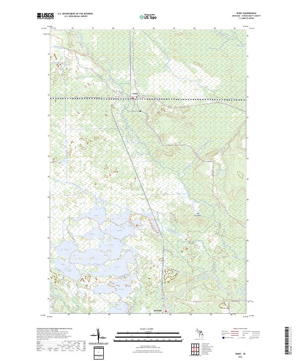
2023 Seney
Schoolcraft County, MI
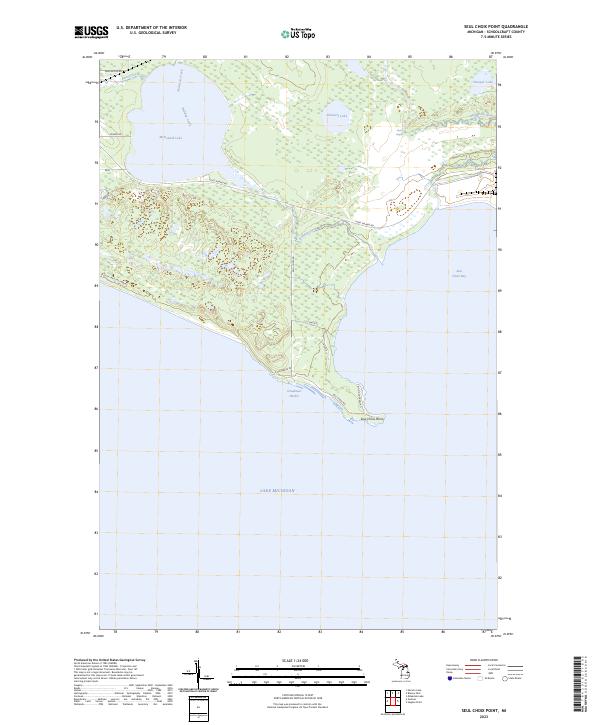
2023 Seul Choix Point
Schoolcraft County, MI
2023 Shingleton
Schoolcraft County, MI
2023 Smith Lake
Schoolcraft County, MI
2023 Steuben NE
Schoolcraft County, MI
2023 Steuben
Schoolcraft County, MI
2023 Sunken Lake
Schoolcraft County, MI
2023 Thunder Lake
Schoolcraft County, MI
2023 Walsh
Schoolcraft County, MI
Featured Locations
- Alger County, MI
- Schoolcraft County, MI
- Hiawatha Township, MI
- Munising Township, MI
- Cusino, Hiawatha Township