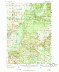
1959 Map of Custer
USGS Topo · Published 1970About this map
The Chesapeake and Ohio railroad corridor anchors the northern reach of this landscape, connecting the village of Custer to Walhalla and Branch. This 1950s survey reveals a region defined by its timber and water resources, with much of the central and eastern sections preserved within the Manistee National Forest. The Pere Marquette River and its South Branch carve through the glacial terrain, creating a dense network of wetlands and small lakes like Lake Eden and Whelan Lake.
Find a feature on this map
100 named features on this map. Tap any name to fly to it.
Don’t see what you’re looking for? This feature index may not catch every label — zoom into the map to look around manually.
Map Details
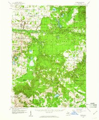
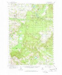
Editions of this 1959 Custer Map
3 editions found
Other maps of this area

1931 · Custer NW
USGS Topo · 1:31,680

1931 · Baldwin NW
USGS Topo · 1:31,680

1931 · Custer SW
USGS Topo · 1:31,680

1931 · Custer NE
USGS Topo · 1:31,680

1931 · Manistee SE
USGS Topo · 1:31,680

1931 · Freesoil SW
USGS Topo · 1:31,680

1931 · Walkerville NE
USGS Topo · 1:31,680

1931 · Hart NE
USGS Topo · 1:31,680

1931 · Walkerville NW
USGS Topo · 1:31,680

1931 · Custer SE
USGS Topo · 1:31,680