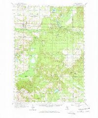
1959 Map of Custer
USGS Topo · Published 1970About this map
Custer and the surrounding townships of Sherman and Sheridan are depicted during a period of steady mid-century development within the Manistee National Forest. The Chesapeake and Ohio railroad corridor serves as the primary east-west axis, connecting the settlements of Walhalla and Tallman to the wider Michigan rail network. This survey reveals a landscape transition from the agricultural clearings near Sugar Ridge to the densely wooded areas surrounding the South Branch Pere Marquette River. Notable for local historians is the high density of rural infrastructure, including numerous one-room schoolhouses like Minega Sch and Comstock Sch, alongside multiple township cemeteries such as Riverside Cem and Lakeside Cem. The presence of the Custer Lookout Tower and Crystal Lookout Tower indicates the active fire management essential to the region's timber and recreational resources at the time.
Find a feature on this map
92 named features on this map. Tap any name to fly to it.
Don’t see what you’re looking for? This feature index may not catch every label — zoom into the map to look around manually.
Map Details
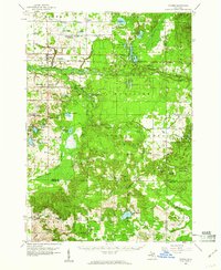
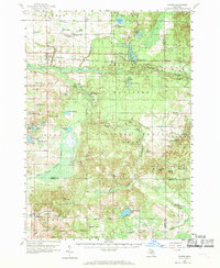
Editions of this 1959 Custer Map
3 editions found
Other maps of this area

1931 · Custer NW
USGS Topo · 1:31,680

1931 · Baldwin NW
USGS Topo · 1:31,680

1931 · Custer SW
USGS Topo · 1:31,680

1931 · Custer NE
USGS Topo · 1:31,680

1931 · Manistee SE
USGS Topo · 1:31,680

1931 · Freesoil SW
USGS Topo · 1:31,680

1931 · Walkerville NE
USGS Topo · 1:31,680

1931 · Hart NE
USGS Topo · 1:31,680

1931 · Walkerville NW
USGS Topo · 1:31,680

1931 · Custer SE
USGS Topo · 1:31,680