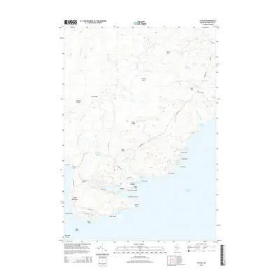
2014 Map of Cutler
USGS Topo · Published 2014About this map
Cutler sits at the edge of the Atlantic, where the Grand Manan Channel meets the rocky, indented shoreline of Washington County. This survey reveals a landscape of high ridges and coastal meadows, from the elevation of Cocoa Mtn down to the sheltered waters of Cutler Harbor. The proximity of the sea is evident in the numerous maritime landmarks, such as Little River Ledge and Little River Island, which guard the river's mouth. Local history and genealogy are anchored at the Old Cutler Cem and Bay View Cem, situated near the network of roads that connect the harbor to the inland bogs and ridges. Further south, the prominent cliffs of Western Head and Great Head overlook the channel, illustrating the transition from the protected marshes of Crotched Meadow to the exposed coastline.
Find a feature on this map
60 named features on this map. Tap any name to fly to it.
Don’t see what you’re looking for? This feature index may not catch every label — zoom into the map to look around manually.
Map Details
Editions of this 2014 Cutler Map
This is the sole edition of this map. No revisions or reprints were ever made.
Other maps of this area

1907 · Eastport
USGS Topo · 1:48,000

1908 · Eastport
USGS Topo · 1:62,500

1917 · Cutler
USGS Topo · 1:62,500

1918 · Machias
USGS Topo · 1:62,500

1918 · Cutler
USGS Topo · 1:62,500

1941 · Machias
USGS Topo · 1:62,500

1941 · Gardner Lake
USGS Topo · 1:62,500

1943 · Gardner Lake
USGS Topo · 1:62,500

1943 · Eastport
USGS Topo · 1:62,500

1945 · Eastport
USGS Topo · 1:62,500