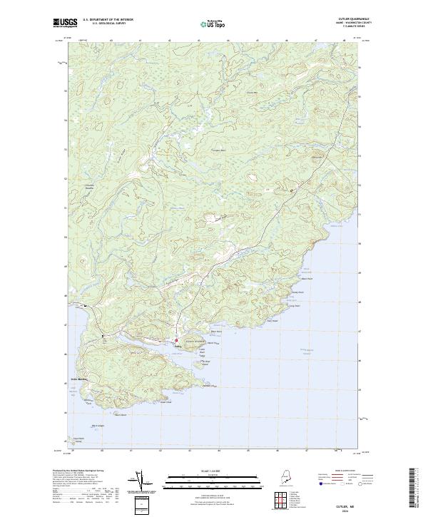
2024 Map of Cutler
USGS Topo · Published 2024About this map
Cutler and Little Machias sit at the edge of the Grand Manan Channel, defining a landscape where the Atlantic meets the jagged coast of Washington County. This modern survey illustrates the persistent maritime orientation of the region, anchored by Cutler Harbor and protected by landmarks like Western Head and Eastern Knubble. The interior is a complex network of wetlands and modest elevations, including Harmon Heath, Crotched Meadow, and Cocoa Mtn.
Find a feature on this map
60 named features on this map. Tap any name to fly to it.
Don’t see what you’re looking for? This feature index may not catch every label — zoom into the map to look around manually.
Map Details
Editions of this 2024 Cutler Map
This is the sole edition of this map. No revisions or reprints were ever made.
Other maps of this area
1907 · Eastport
USGS Topo · 1:48,000
1908 · Eastport
USGS Topo · 1:62,500
1917 · Cutler
USGS Topo · 1:62,500
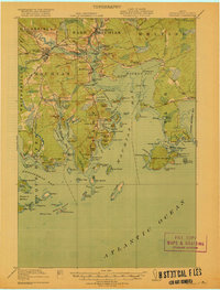
1918 · Machias
USGS Topo · 1:62,500
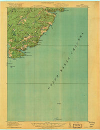
1918 · Cutler
USGS Topo · 1:62,500
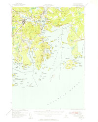
1941 · Machias
USGS Topo · 1:62,500
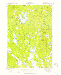
1941 · Gardner Lake
USGS Topo · 1:62,500
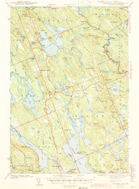
1943 · Gardner Lake
USGS Topo · 1:62,500
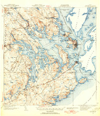
1943 · Eastport
USGS Topo · 1:62,500
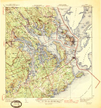
1945 · Eastport
USGS Topo · 1:62,500