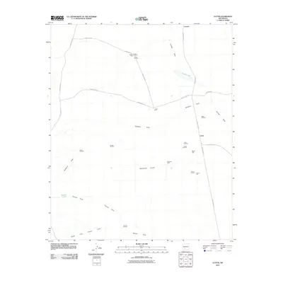
2010 Map of Cutter
USGS Topo · Published 2010About this map
Cutter and its surrounding ranchlands are depicted here in Sierra County, revealing a landscape defined by water management and isolated homesteads. The importance of groundwater in this arid terrain is evident through numerous named water sources, such as Sowell Windmill, Mares Windmill, and Number 7 Tank, which serve the local grazing operations. Local history is anchored by the Graham Cemetery and Cutter Cemetery, providing essential markers for genealogical research in this sparsely populated area. The topography is largely defined by the drainage patterns of Jornada Draw and the seasonal Jornada Lakes, while the presence of the L Seven Ranch and McLendon Ranch illustrates the enduring cattle ranching heritage of the region. This 2010 survey shows how the high desert is navigated via a network of named county roads that connect these remote family-named landmarks.
Find a feature on this map
30 named features on this map. Tap any name to fly to it.
Don’t see what you’re looking for? This feature index may not catch every label — zoom into the map to look around manually.
Map Details
Editions of this 2010 Cutter Map
This is the sole edition of this map. No revisions or reprints were ever made.
Other maps of this area

1916 · Tonuco
USGS Topo · 1:125,000

1916 · Salinas Peak
USGS Topo · 1:125,000

1932 · Tonuco
USGS Topo · 1:125,000

1948 · Sowell
USGS Topo · 1:62,500

1948 · Chicken Well
USGS Topo · 1:62,500

1954 · Tularosa
USGS Topo · 1:250,000

1955 · Las Cruces
USGS Topo · 1:250,000

1958 · Las Cruces
USGS Topo · 1:250,000

1958 · Tularosa
USGS Topo · 1:250,000

1958 · Elephant Butte
USGS Topo · 1:24,000