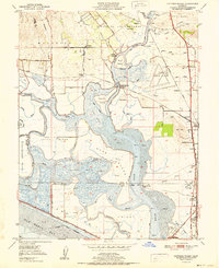
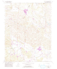
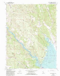
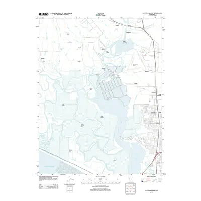
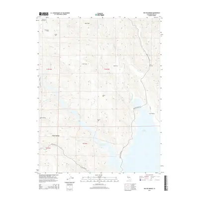
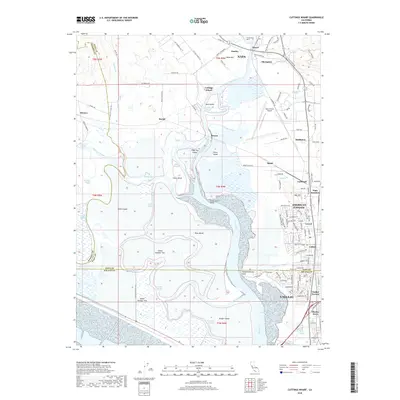
1951 Map of Cuttings Wharf
USGS Topo · Published 1951About this map
Napa River tidelands and the marshy expanses of the northern San Pablo Bay define this mid-century landscape. The map details a complex network of sloughs and levees, where islands like Russ Island and Little Island are separated by Coon Island Slough and China Slough. The infrastructure of the era is evident in the transition from water to rail and air, featuring the Napa County Airport and smaller landing strips such as Vallejo Sky Harbor and Knights Airport.
Find a feature on this map
74 named features on this map. Tap any name to fly to it.
Don’t see what you’re looking for? This feature index may not catch every label — zoom into the map to look around manually.
Map Details
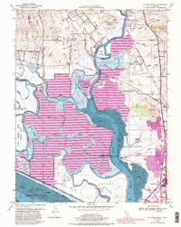
Editions of this 1951 Cuttings Wharf Map
This is the sole edition of this map. No revisions or reprints were ever made.
Historical Maps of Vallejo Through Time
47 maps found
1949 Cuttings Wharf
Napa County, CA
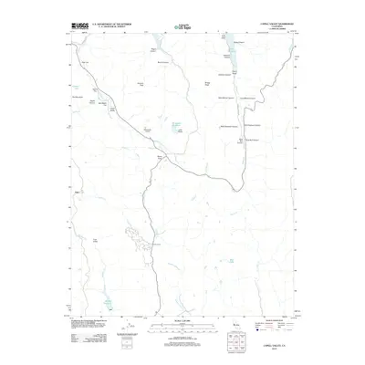
1951 Capell Valley
Napa County, CA
1951 Cuttings Wharf
Napa County, CA
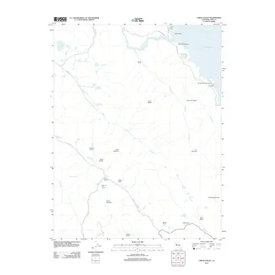
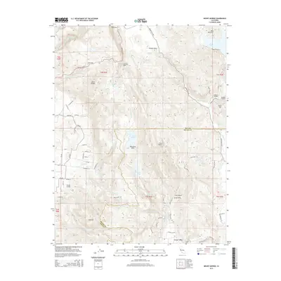
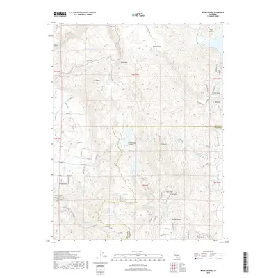
1951 Mt. George
Napa County, CA
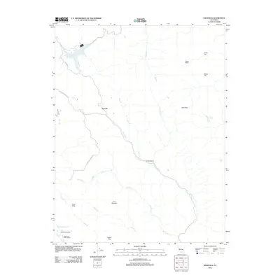
1958 Aetna Springs
Napa County, CA
1958 Chiles Valley
Napa County, CA
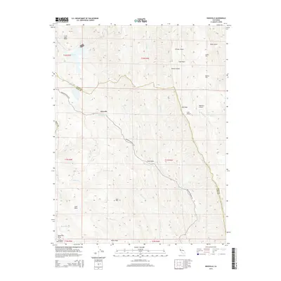
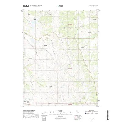
1958 Knoxville
Napa County, CA
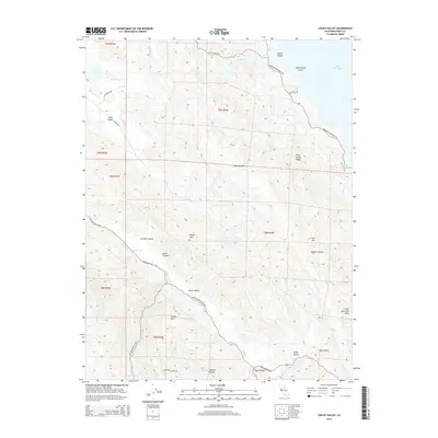
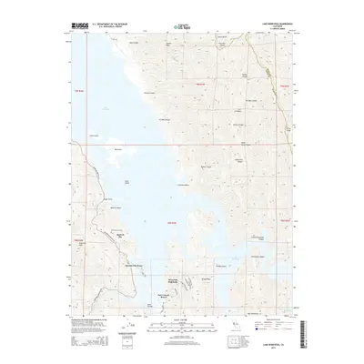
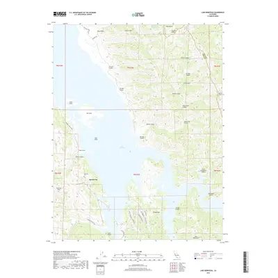
1959 Lake Berryessa
Napa County, CA
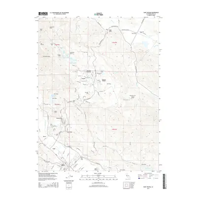
1959 Walter Springs
Napa County, CA
1998 Aetna Springs
Napa County, CA
1998 Lake Berryessa
Napa County, CA
2012 Aetna Springs
Napa County, CA
2012 Capell Valley
Napa County, CA
2012 Chiles Valley
Napa County, CA
2012 Cuttings Wharf
Napa County, CA
2012 Knoxville
Napa County, CA
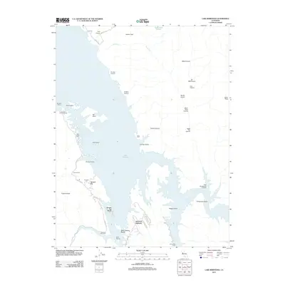
2012 Lake Berryessa
Napa County, CA
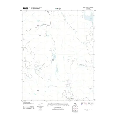
2012 Mount George
Napa County, CA
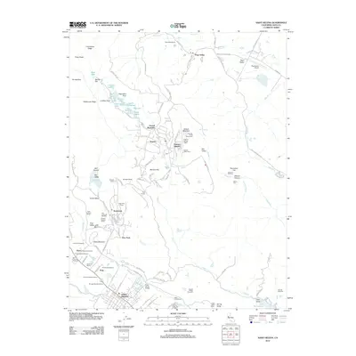
2012 Saint Helena
Napa County, CA
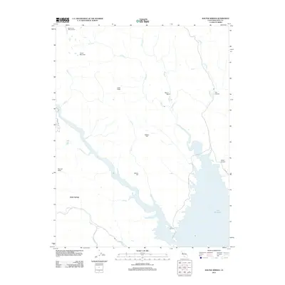
2012 Walter Springs
Napa County, CA
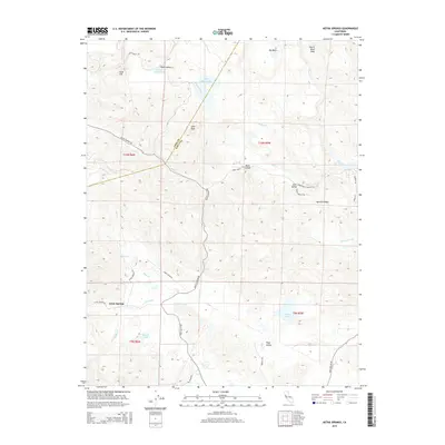
2015 Aetna Springs
Napa County, CA
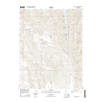
2015 Capell Valley
Napa County, CA
2015 Chiles Valley
Napa County, CA
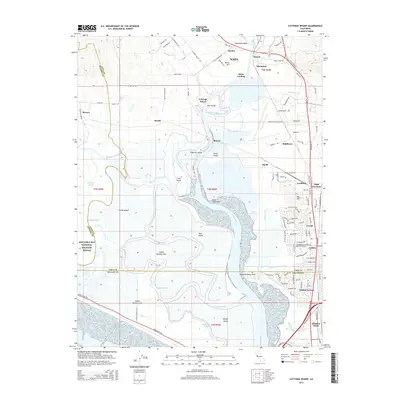
2015 Cuttings Wharf
Napa County, CA
2015 Knoxville
Napa County, CA
2015 Lake Berryessa
Napa County, CA
2015 Mount George
Napa County, CA
2015 Saint Helena
Napa County, CA
2015 Walter Springs
Napa County, CA
2018 Aetna Springs
Napa County, CA
2018 Capell Valley
Napa County, CA
2018 Chiles Valley
Napa County, CA
2018 Cuttings Wharf
Napa County, CA
2018 Knoxville
Napa County, CA
2018 Lake Berryessa
Napa County, CA
2018 Mount George
Napa County, CA
2018 Saint Helena
Napa County, CA
2018 Walter Springs
Napa County, CA
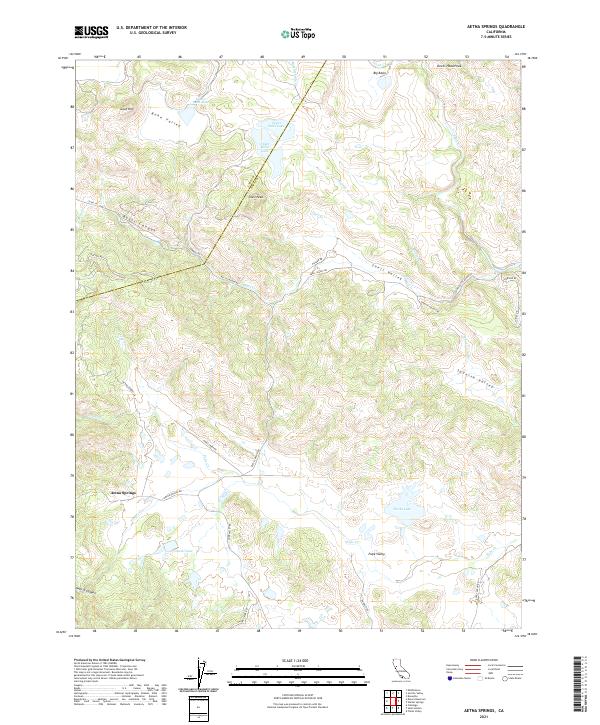
2021 Aetna Springs
Napa County, CA
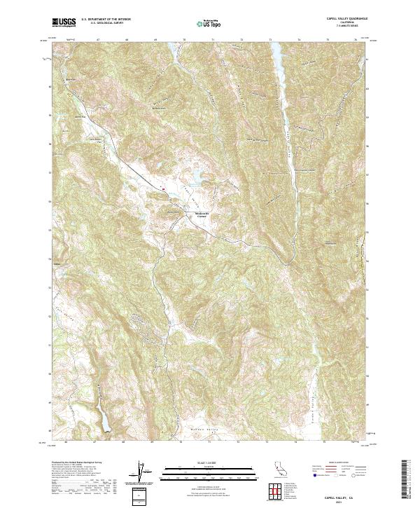
2021 Capell Valley
Napa County, CA
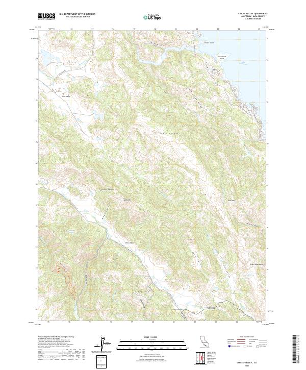
2021 Chiles Valley
Napa County, CA
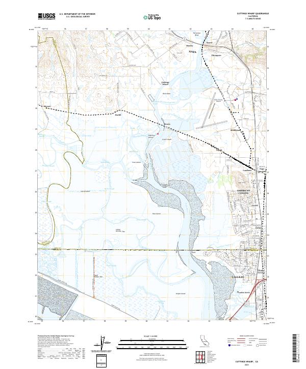
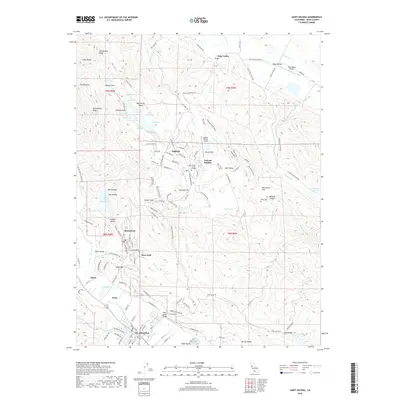
2021 Cuttings Wharf
Napa County, CA
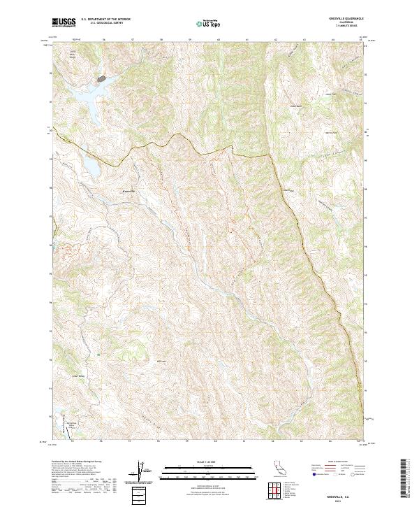
2021 Knoxville
Napa County, CA
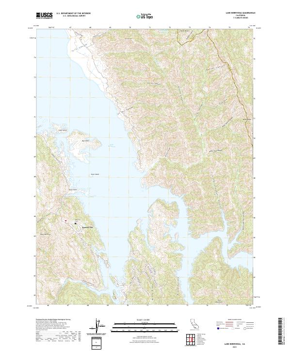
2021 Lake Berryessa
Napa County, CA
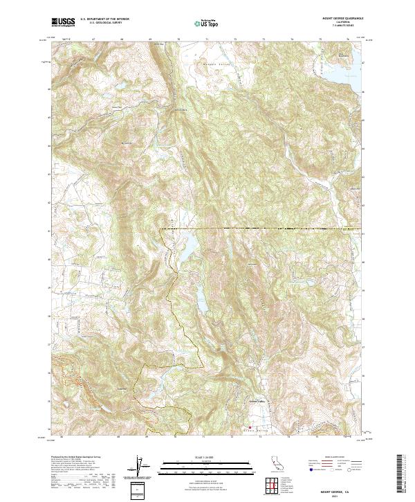
2021 Mount George
Napa County, CA
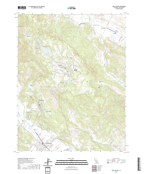
2021 Saint Helena
Napa County, CA
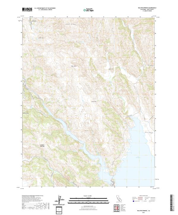
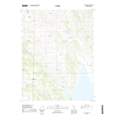
2021 Walter Springs
Napa County, CA