2022 Map of Dahlgren
USGS Topo · Published 2022About this map
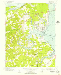
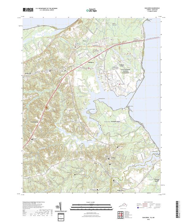
Upper Machodoc Creek and the wide Potomac River dominate this coastal landscape at the boundary of King George County and Westmoreland County. The presence of the Dahlgren Naval Surface Warfare Center highlights the area's strategic maritime importance, while the University of Mary Washington Dahlgren Campus serves as a modern educational anchor for the community. Older rural patterns remain visible through numerous church-centered settlements such as Tetotum and Hooes, each marked by historic cemeteries including Good Hope Baptist Church Cem and Saint Pauls Episcopal Church Cem. Modern transit is facilitated by the Gov Harry Nice Memorial Bridge crossing into Maryland, even as traditional trails like the Potomac Heritage National Scenic Trail trace the shoreline. From the wetlands of Black Marsh to the residential streets of Colonial Beach, the map captures a blend of military installations and quiet riverfront hamlets.
Find a feature on this map
62 named features on this map. Tap any name to fly to it.
Don’t see what you’re looking for? This feature index may not catch every label — zoom into the map to look around manually.
Map Details
Editions of this 2022 Dahlgren Map
This is the sole edition of this map. No revisions or reprints were ever made.
Historical Maps of Dahlgren Center Through Time
3 maps found