Loading...
Loading map...2022 Map of Daisetta
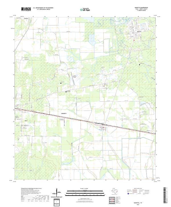
USGS Topo · Published 2022About this map
Daisetta and its surrounding wetlands occupy a landscape defined by the complex hydrography of Liberty County. The terrain is a network of slow-moving waterways, including Josie Bayou, Whites Bayou, and Cow Island Bayou, which thread through low-lying areas like the Daisetta Swamp and Turkey Creek Marsh. This intricate drainage pattern suggests a geography historically shaped by seasonal flooding and the coastal plains of Southeast Texas.
Find a feature on this map
108 named features on this map. Tap any name to fly to it.
Don’t see what you’re looking for? This feature index may not catch every label — zoom into the map to look around manually.
Map Details
Date Portrayed2022
Date Published2022
PublisherU.S. Geological Survey
Map TypeTopographic
Scale1:24000
Physical Dimensions24 x 29 inches
Editions of this 2022 Daisetta Map
This is the sole edition of this map. No revisions or reprints were ever made.
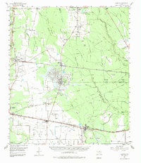
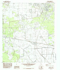
Historical Maps of Frige Settlement Through Time
3 maps found
Featured Locations
Source Details
SourceU.S. Geological Survey
CopyrightPublic Domain