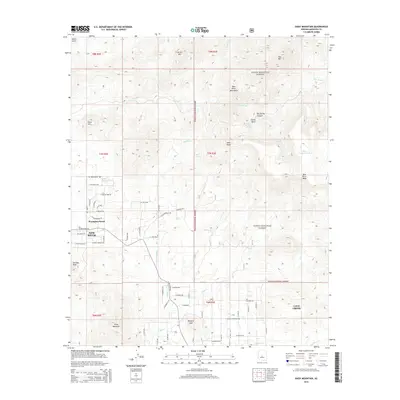
2014 Map of Daisy Mountain
USGS Topo · Published 2014About this map
Wranglers Roost sits at the western edge of this transition between the expanding desert settlements and the high peaks of the Tonto National Forest. The landscape is dominated by the volcanic and metamorphic massifs of Daisy Mountain and Gavilan Peak, which watch over a network of seasonal watercourses like New River and Skunk Cr. The map captures the suburban reach of New River and Cave Creek as residential streets like W White Spar Rd and N Zorrillo Dr push into the foothills. High-elevation features such as New River Mesa and the New River Mountains occupy the northeastern corner, where land management shifts to federal protection. Dozens of springs and tanks, including Shoemaker Spring and Hells Canyon Tank, indicate the critical importance of water management in this arid mountain environment.
Find a feature on this map
76 named features on this map. Tap any name to fly to it.
Don’t see what you’re looking for? This feature index may not catch every label — zoom into the map to look around manually.
Map Details
Editions of this 2014 Daisy Mountain Map
This is the sole edition of this map. No revisions or reprints were ever made.
Other maps of this area

1887 · Verde
USGS Topo · 1:250,000

1887 · Prescott
USGS Topo · 1:250,000

1892 · Verde
USGS Topo · 1:250,000

1892 · Prescott
USGS Topo · 1:250,000

1903 · Bradshaw Mountains
USGS Topo · 1:125,000

1929 · Turret Peak
USGS Topo · 1:125,000

1930 · Cave Creek
USGS Topo · 1:125,000

1933 · Turret Peak
USGS Topo · 1:125,000

1939 · Cave Creek
USGS Topo · 1:125,000

1947 · Bumblebee
USGS Topo · 1:62,500