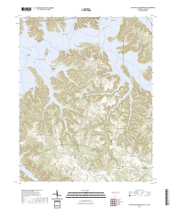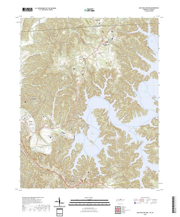
2022 Map of Dale Hollow Dam
USGS Topo · Published 2022About this map
Celina sits at the western edge of this landscape where the Obey River winds through deep bends like Walker Bend and Peterman Bend. The terrain is defined by the expansive waters of Dale Hollow Lake, which fills the ancient valleys and hollows of the Cumberland Plateau. This 2022 survey captures the modern topography of the Tennessee-Kentucky border, where high points like Pea Ridge, Star Ridge, and Pilot Knob overlook a complex network of ridges and water-filled gaps. Local history is deeply embedded in the land, evidenced by numerous family and community burial grounds including Donaldson Cem, Key Cem, and Ashlock Cem. The settlement at Free Hill and the crossroads at Ashlock and Neely Crossroads reflect the enduring rural character of this borderland, where small communities remain clustered around historical roads and ridges.
Find a feature on this map
134 named features on this map. Tap any name to fly to it.
Don’t see what you’re looking for? This feature index may not catch every label — zoom into the map to look around manually.
Map Details
Editions of this 2022 Dale Hollow Dam Map
This is the sole edition of this map. No revisions or reprints were ever made.
Historical Maps of Thompsons Store Through Time
6 maps found