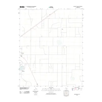
2010 Map of Dalhart East
USGS Topo · Published 2010About this map
Dalhart and the high plains of the Texas Panhandle are captured here during a period of modern expansion. The eastern edge of the settlement transitions into a network of agricultural roads and ranch lands, anchored by aviation and water infrastructure. Miller Airfield sits centrally among the surveyed grid, while the northern settlement of Hitt lies along the railroad corridor cutting diagonally across the landscape. To the southwest, the impoundment of Rita Blanca Creek at the Rita Blanca Creek Reservoir Dam creates Rita Blanca Lake, a significant water feature for this arid region. The map details a landscape defined by large-scale land divisions and ranch roads such as Ranch Rd 297 and Farris Rd, illustrating the intersection of residential growth and traditional cattle-country infrastructure.
Find a feature on this map
20 named features on this map. Tap any name to fly to it.
Don’t see what you’re looking for? This feature index may not catch every label — zoom into the map to look around manually.
Map Details
Editions of this 2010 Dalhart East Map
This is the sole edition of this map. No revisions or reprints were ever made.
Other maps of this area

1954 · Tucumcari
USGS Topo · 1:250,000

1954 · Dalhart
USGS Topo · 1:250,000

1958 · Tucumcari
USGS Topo · 1:250,000

1958 · Dalhart
USGS Topo · 1:250,000

1962 · Dalhart
USGS Topo · 1:250,000

1963 · Hartley NE
USGS Topo · 1:24,000

1965 · Wilco
USGS Topo · 1:24,000

1965 · Wilco NE
USGS Topo · 1:24,000

1973 · Pardue Camp
USGS Topo · 1:24,000

1973 · Hartley
USGS Topo · 1:24,000