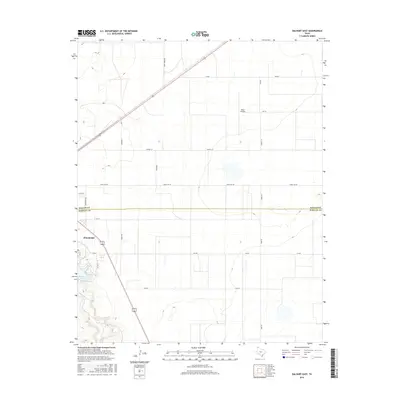
2016 Map of Dalhart East
USGS Topo · Published 2016About this map
The Panhandle community of Dalhart sits at the intersection of the High Plains and the Texas-Oklahoma borderlands. This survey illustrates the town's eastward expansion across the county line between Dallam Co and Hartley Co. The landscape is dominated by a grid of rural routes and farm-to-market roads, including Fm 695 and Ranch Rd 297, which serve the agricultural interests of the region.
Find a feature on this map
21 named features on this map. Tap any name to fly to it.
Don’t see what you’re looking for? This feature index may not catch every label — zoom into the map to look around manually.
Map Details
Editions of this 2016 Dalhart East Map
This is the sole edition of this map. No revisions or reprints were ever made.
Other maps of this area

1954 · Tucumcari
USGS Topo · 1:250,000

1954 · Dalhart
USGS Topo · 1:250,000

1958 · Tucumcari
USGS Topo · 1:250,000

1958 · Dalhart
USGS Topo · 1:250,000

1962 · Dalhart
USGS Topo · 1:250,000

1963 · Hartley NE
USGS Topo · 1:24,000

1965 · Wilco
USGS Topo · 1:24,000

1965 · Wilco NE
USGS Topo · 1:24,000

1973 · Pardue Camp
USGS Topo · 1:24,000

1973 · Hartley
USGS Topo · 1:24,000