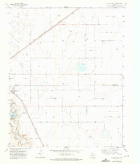
1973 Map of Dalhart East
USGS Topo · Published 1976About this map
The Panhandle city of Dalhart sits at the convergence of vital rail corridors and a county boundary in this mid-1970s study. The northern reaches of Dallam and Hartley counties meet here, with the Chicago Rock Island and Pacific and Fort Worth and Denver railroads slicing diagonally across the High Plains landscape. These tracks underscore the town’s role as a regional transport hub, while local recreation and infrastructure are centered on Rita Blanca Lake and the nearby Sewage Disposal Ponds.
Find a feature on this map
12 named features on this map. Tap any name to fly to it.
Don’t see what you’re looking for? This feature index may not catch every label — zoom into the map to look around manually.
Map Details
Editions of this 1973 Dalhart East Map
This is the sole edition of this map. No revisions or reprints were ever made.
Other maps of this area

1954 · Tucumcari
USGS Topo · 1:250,000

1954 · Dalhart
USGS Topo · 1:250,000

1958 · Tucumcari
USGS Topo · 1:250,000

1958 · Dalhart
USGS Topo · 1:250,000

1962 · Dalhart
USGS Topo · 1:250,000

1963 · Hartley NE
USGS Topo · 1:24,000

1965 · Wilco
USGS Topo · 1:24,000

1965 · Wilco NE
USGS Topo · 1:24,000

1973 · Pardue Camp
USGS Topo · 1:24,000

1973 · Hartley
USGS Topo · 1:24,000