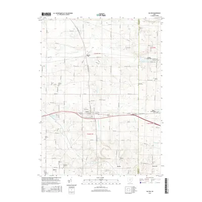
2016 Map of Dalton
USGS Topo · Published 2016About this map
Mennonite heritage and deep-rooted agricultural patterns define this section of the Wayne and Stark County border. The village of Dalton serves as a central hub, surrounded by a high density of denominational landmarks such as Sonnenberg Mennonite Cem, Martins Mennonite Cem, and Kidron Mennonite Cem near the settlement of Kidron. This concentration of sites reflects the enduring presence of German and Swiss heritage communities in this part of Ohio. The landscape is etched by drainage networks like Beaverdam Ditch and Orrville Ditch, while the winding Sugar Cr flows through the southern reaches. Industrial and recreational land use is visible at the N Lawrence Fish and Game Club Lake near North Lawrence, illustrating how local land management has evolved alongside the older farming townships of Burton City and Stanwood.
Find a feature on this map
119 named features on this map. Tap any name to fly to it.
Don’t see what you’re looking for? This feature index may not catch every label — zoom into the map to look around manually.
Map Details
Editions of this 2016 Dalton Map
This is the sole edition of this map. No revisions or reprints were ever made.
Other maps of this area

1901 · Massillon
USGS Topo · 1:62,500

1901 · Wooster
USGS Topo · 1:62,500

1903 · Massillon
USGS Topo · 1:62,500

1903 · Wooster
USGS Topo · 1:62,500

1914 · Navarre
USGS Topo · 1:62,500

1915 · Millersburg
USGS Topo · 1:62,500

1943 · Millersburg
USGS Topo · 1:62,500

1944 · Navarre
USGS Topo · 1:62,500

1951 · Canton
USGS Topo · 1:250,000

1953 · Canton
USGS Topo · 1:250,000