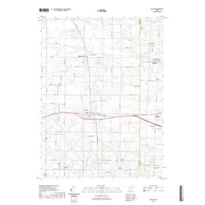
2019 Map of Dalton
USGS Topo · Published 2019About this map
Mennonite heritage defines much of this rural landscape along the boundary of Wayne and Stark Counties. The map reveals a dense concentration of religious and community burial grounds, including Salem Mennonite Cem, Sonnenberg Mennonite Cem, and Martins Mennonite Cem, reflecting the deep-rooted cultural history of the region. The village of Dalton serves as a central hub, surrounded by smaller settlements like Burton City, North Lawrence, and Stanwood. The terrain is shaped by an intricate system of agricultural drainage and natural waterways, notably the Beaverdam Ditch, Orrville Ditch, and the winding path of Sugar Cr. To the northeast, the North Lawrence Fish and Game Club Lake and Fox Run provide a contrast to the geometric patterns of the township road network, illustrating the balance between managed farmland and local recreation areas in the early 21st century.
Find a feature on this map
110 named features on this map. Tap any name to fly to it.
Don’t see what you’re looking for? This feature index may not catch every label — zoom into the map to look around manually.
Map Details
Editions of this 2019 Dalton Map
This is the sole edition of this map. No revisions or reprints were ever made.
Other maps of this area

1901 · Massillon
USGS Topo · 1:62,500

1901 · Wooster
USGS Topo · 1:62,500

1903 · Massillon
USGS Topo · 1:62,500

1903 · Wooster
USGS Topo · 1:62,500

1914 · Navarre
USGS Topo · 1:62,500

1915 · Millersburg
USGS Topo · 1:62,500

1943 · Millersburg
USGS Topo · 1:62,500

1944 · Navarre
USGS Topo · 1:62,500

1951 · Canton
USGS Topo · 1:250,000

1953 · Canton
USGS Topo · 1:250,000