Loading...
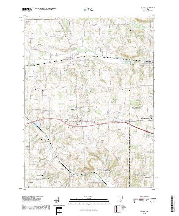
Loading map...2023 Map of Dalton
USGS Topo · Published 2023About this map
Mennonite heritage is deeply etched into this corner of Wayne County, evidenced by a dense network of country graveyards like Martins Mennonite Cem, Salem Mennonite Cem, and Sonnenberg Mennonite Cem near the village of Kidron. The landscape is a mix of small agricultural settlements and carefully managed water systems, where Newman Creek and Sugar Creek are supplemented by the engineered paths of Orrville Ditch and Beaverdam Ditch.
Find a feature on this map
105 named features on this map. Tap any name to fly to it.
Don’t see what you’re looking for? This feature index may not catch every label — zoom into the map to look around manually.
Map Details
Date Portrayed2023
Date Published2023
PublisherU.S. Geological Survey
Map TypeTopographic
Scale1:24000
Physical Dimensions24 x 29 inches
Editions of this 2023 Dalton Map
This is the sole edition of this map. No revisions or reprints were ever made.
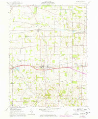
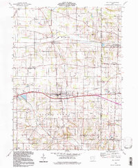
Historical Maps of Tuscarawas Township Through Time
Featured Locations
Source Details
SourceU.S. Geological Survey
CopyrightPublic Domain