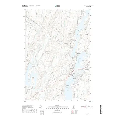
2021 Map of Damariscotta
USGS Topo · Published 2021About this map
Damariscotta and Newcastle sit along the winding Damariscotta River, marking a landscape where maritime heritage and colonial-era settlement patterns remain deeply visible. This coastal survey documents the intricate network of tidal waterways, including Salt Bay and the narrow passage at Damariscotta Mills. The area is characterized by a high concentration of historical burial grounds, such as Saint Patricks Cem and Glidden Street Cem, which offer significant value for genealogical research into the region's founding families.
Find a feature on this map
131 named features on this map. Tap any name to fly to it.
Don’t see what you’re looking for? This feature index may not catch every label — zoom into the map to look around manually.
Map Details
Editions of this 2021 Damariscotta Map
This is the sole edition of this map. No revisions or reprints were ever made.
Other maps of this area

1893 · Wiscasset
USGS Topo · 1:62,500

1893 · Boothbay
USGS Topo · 1:62,500

1904 · Monhegan
USGS Topo · 1:62,500

1906 · Monhegan
USGS Topo · 1:62,500

1913 · Waldoboro
USGS Topo · 1:48,000

1915 · Waldoboro
USGS Topo · 1:62,500

1941 · Waldoboro
USGS Topo · 1:62,500

1941 · Boothbay
USGS Topo · 1:62,500

1943 · Boothbay
USGS Topo · 1:62,500

1944 · Wiscasset
USGS Topo · 1:62,500