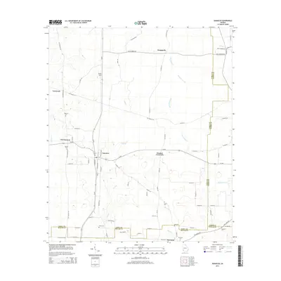
2014 Map of Damascus
USGS Topo · Published 2014About this map
Damascus and Old Damascus anchor this Southwest Georgia landscape, where the town centers are marked by a grid of streets including Railroad Ave and Killebrew Rd. The terrain is defined by the slow drainages of Big Cypress Creek and Long Br, cutting through agricultural land at the intersection of Early, Miller, and Baker counties. The area is dotted with small rural settlements like Douglass Crossroads and Crossroads, while the Rowena Lookout Tower stands as a notable landmark in the northern reaches of the quadrangle.
Find a feature on this map
76 named features on this map. Tap any name to fly to it.
Don’t see what you’re looking for? This feature index may not catch every label — zoom into the map to look around manually.
Map Details
Editions of this 2014 Damascus Map
This is the sole edition of this map. No revisions or reprints were ever made.
Other maps of this area

1953 · Dothan
USGS Topo · 1:250,000

1954 · Dothan
USGS Topo · 1:250,000

1955 · Dothan
USGS Topo · 1:250,000

1973 · Bancroft
USGS Topo · 1:24,000

1973 · Hentown
USGS Topo · 1:24,000

1974 · Donalsonville NE
USGS Topo · 1:24,000

1974 · Damascus
USGS Topo · 1:24,000

1974 · Arlington
USGS Topo · 1:24,000

1974 · Cooktown
USGS Topo · 1:24,000
1974 · Colquitt
USGS Topo · 1:24,000