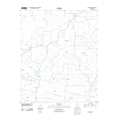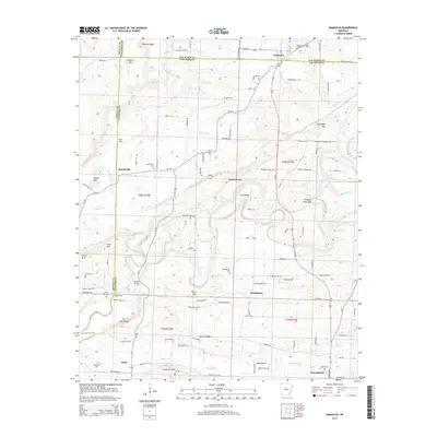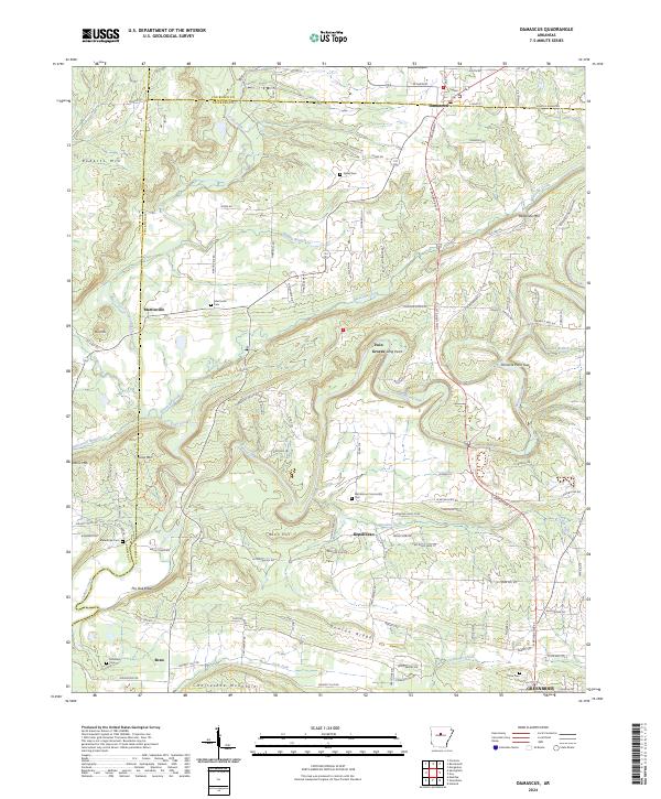
2024 Map of Damascus
USGS Topo · Published 2024About this map
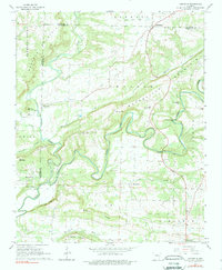
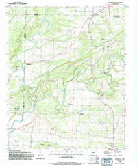
Damascus sits at the northern edge of this Arkansas landscape, where the borders of Van Buren, Faulkner, and Conway counties meet. The area is defined by a series of prominent elevations, including Horseshoe Mountain, Rosin Hill, and Duncan Ridge, which dictate the winding paths of rural routes like Spires Rd and Solomon Grove Rd. Small, long-established settlements such as Martinville, Republican, and Bono are scattered throughout the valleys, often anchored by local landmarks like the Republican Community Cem and Martinville Cem.
Find a feature on this map
145 named features on this map. Tap any name to fly to it.
Don’t see what you’re looking for? This feature index may not catch every label — zoom into the map to look around manually.
Map Details
Editions of this 2024 Damascus Map
This is the sole edition of this map. No revisions or reprints were ever made.
Historical Maps of Greenbrier Through Time
7 maps found