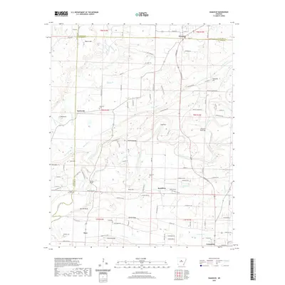
2020 Map of Damascus
USGS Topo · Published 2020About this map
Cadron Creek and its many tributaries, including Batesville Cr and Peavine Cr, define the drainage of this central Arkansas landscape. The topography transitions from the higher elevations of Roberts Mtn and Batesville Mtn in the north toward the lower terrain around Greenbrier in the south. This modern survey illustrates the proximity of long-established communities such as Damascus, Martinville, and Bono. For genealogists, the map is a detailed resource, pinpointing several family and community burial grounds like Spires Cem, Martinville Cem, and McMillan Cem. Notable infrastructure like Fishtrap Bridge crossing Cadron Creek and landmarks such as Pinnacle Point Gap provide specific geographic anchors for local history research. The boundary between Van Buren County and Faulkner County is clearly delineated as it cuts through the northern portion of the quadrangle near Damascus.
Find a feature on this map
110 named features on this map. Tap any name to fly to it.
Don’t see what you’re looking for? This feature index may not catch every label — zoom into the map to look around manually.
Map Details
Editions of this 2020 Damascus Map
This is the sole edition of this map. No revisions or reprints were ever made.
Other maps of this area

1892 · Morrillton
USGS Topo · 1:125,000

1894 · Morrillton
USGS Topo · 1:125,000

1956 · Russellville
USGS Topo · 1:250,000

1961 · Menifee
USGS Topo · 1:24,000

1961 · Conway
USGS Topo · 1:62,500

1961 · Bee Branch
USGS Topo · 1:62,500

1961 · Greenbrier
USGS Topo · 1:24,000

1961 · Bee Branch
USGS Topo · 1:24,000

1961 · Morganton
USGS Topo · 1:24,000

1961 · Damascus
USGS Topo · 1:24,000