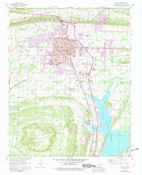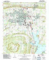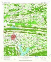
1961 Map of Conway
USGS Topo · Published 1963About this map
Hendrix College and the State Teachers College anchor the growing city of Conway in the early 1960s, a period of significant regional development. The landscape is defined by the creation of major water bodies like Beaver Fork Lake and the sprawling Lake Conway to the south, which reshaped the local drainage of Palarm Creek and Gold Creek. This era captures the city's transition with infrastructure like the Conway Municipal Airport and a Drive-in Theater appearing alongside long-standing rural community hubs.
Find a feature on this map
109 named features on this map. Tap any name to fly to it.
Don’t see what you’re looking for? This feature index may not catch every label — zoom into the map to look around manually.
Map Details
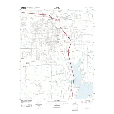
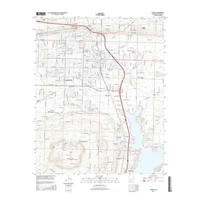
Editions of this 1961 Conway Map
This is the sole edition of this map. No revisions or reprints were ever made.
Historical Maps of Conway Through Time
9 maps found