
1953 Map of Cato
USGS Topo · Published 1953About this map
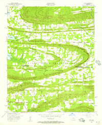
Clifton Mountain and the prominent Rock Ridge dominate this section of the Arkansas landscape along the Faulkner and Pulaski County line. Much of the central terrain is occupied by the National Guard Training Area, specifically the grounds of the (Former Camp J T Robinson). This military footprint creates a distinct divide between the more settled southern reaches near Morgan and the northern corridors around Cato.
Find a feature on this map
47 named features on this map. Tap any name to fly to it.
Don’t see what you’re looking for? This feature index may not catch every label — zoom into the map to look around manually.
Map Details
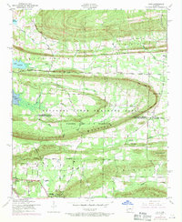
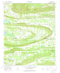
Editions of this 1953 Cato Map
4 editions found
Other maps of this area

1891 · Little Rock
USGS Topo · 1:125,000

1893 · Little Rock
USGS Topo · 1:125,000

1935 · Mc Almont
USGS Topo · 1:24,000

1935 · North Little Rock
USGS Topo · 1:24,000

1941 · Olmstead
USGS Topo · 1:31,680

1943 · Pinnacle Mtn
USGS Topo · 1:31,680

1953 · Mayflower
USGS Topo · 1:24,000
1954 · Pinnacle Mountain
USGS Topo · 1:24,000

1954 · Mc Almont
USGS Topo · 1:24,000

1954 · Olmstead
USGS Topo · 1:24,000