
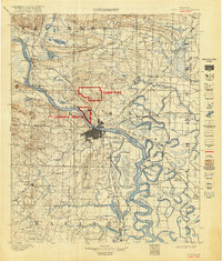
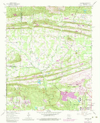
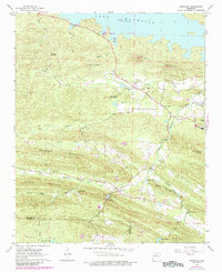
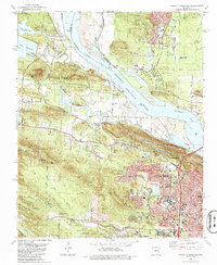
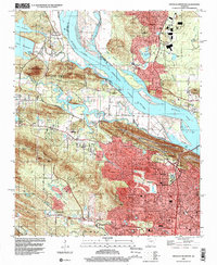
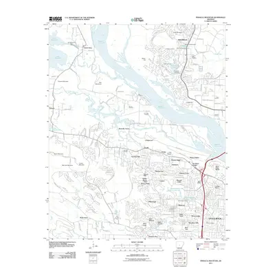
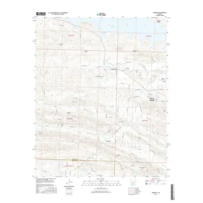
1943 Map of Pinnacle Mtn
USGS Topo · Published 1946About this map
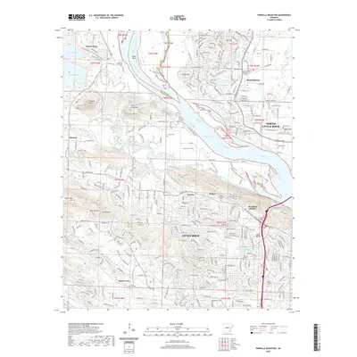
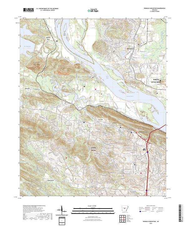
The Arkansas River carves a winding path through this mid-1940s landscape, serving as a primary corridor for the Chicago Rock Island and Pacific River railroad. Along its southern banks, the community of Pankey Addition and the settlement at Ivesville reflect the area's residential growth during the late New Deal era. Local social life is anchored by institutions like Taylors Chapel, New Hope Ch, and St Paul Ch, alongside rural schoolhouses such as Bailey Sch and the Joe T. Robinson Sch. Significant landmarks include the Pulaski County Prison Farm and the State Hospital Annex, illustrating the placement of public facilities on the outskirts of the growing capital region. The terrain is defined by prominent elevations like Pinnacle Mtn and Shinall Mtn, which overlook a network of bayous including Rectors Brake and Whiteoak Bayou.
Find a feature on this map
59 named features on this map. Tap any name to fly to it.
Don’t see what you’re looking for? This feature index may not catch every label — zoom into the map to look around manually.
Map Details
Editions of this 1943 Pinnacle Mtn Map
This is the sole edition of this map. No revisions or reprints were ever made.
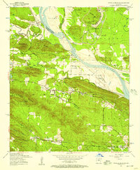
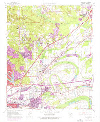
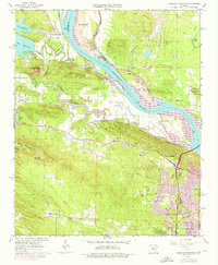
Historical Maps of Little Rock Through Time
34 maps found
1893 Camp Pike
Pulaski County, AR
1935 Mc Almont
Pulaski County, AR
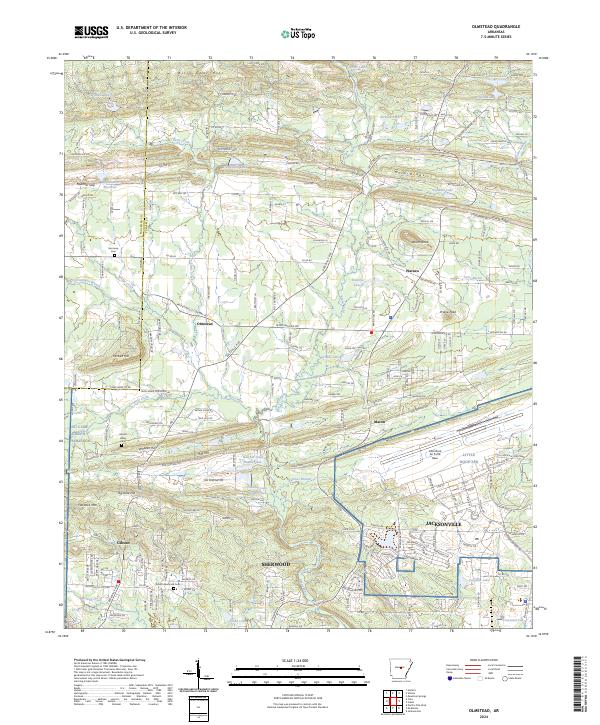
1941 Olmstead
Pulaski County, AR
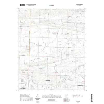
1943 Pinnacle Mtn
Pulaski County, AR
1954 Mc Almont
Pulaski County, AR
1954 Olmstead
Pulaski County, AR
1954 Pinnacle Mountain
Pulaski County, AR
1961 Mc Almont
Pulaski County, AR
1961 Pinnacle Mountain
Pulaski County, AR
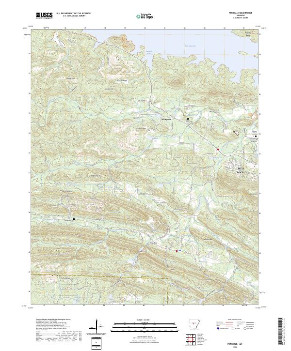
1963 Ferndale
Pulaski County, AR
1975 Mc Almont
Pulaski County, AR
1975 Pinnacle Mountain
Pulaski County, AR
1986 Mc Almont
Pulaski County, AR
1986 Pinnacle Mountain
Pulaski County, AR
1987 Olmstead
Pulaski County, AR
1994 Ferndale
Pulaski County, AR
1994 Mc Almont
Pulaski County, AR
1994 Pinnacle Mountain
Pulaski County, AR
1996 Olmstead
Pulaski County, AR
2011 Ferndale
Pulaski County, AR
2011 Olmstead
Pulaski County, AR
2011 Pinnacle Mountain
Pulaski County, AR
2014 Ferndale
Pulaski County, AR
2014 Olmstead
Pulaski County, AR
2014 Pinnacle Mountain
Pulaski County, AR
2017 Ferndale
Pulaski County, AR
2017 Olmstead
Pulaski County, AR
2017 Pinnacle Mountain
Pulaski County, AR
2020 Ferndale
Pulaski County, AR
2020 Olmstead
Pulaski County, AR
2020 Pinnacle Mountain
Pulaski County, AR
2024 Ferndale
Pulaski County, AR
2024 Olmstead
Pulaski County, AR
2024 Pinnacle Mountain
Pulaski County, AR