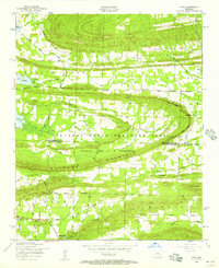
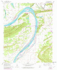
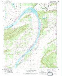
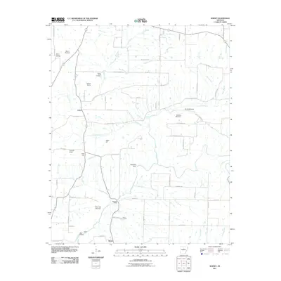
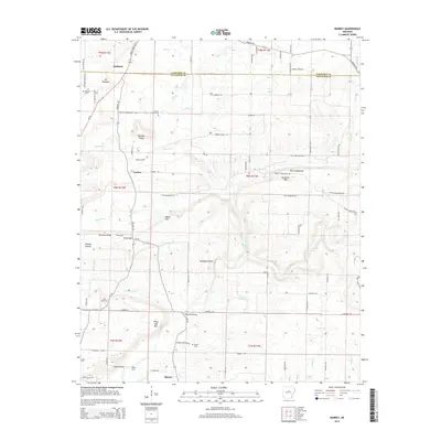
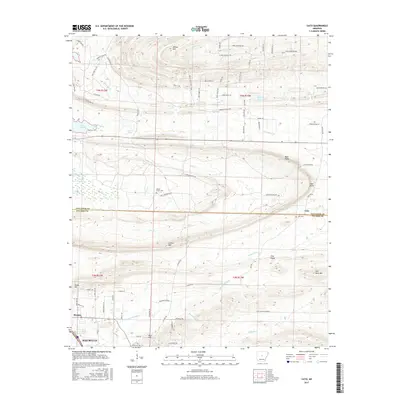
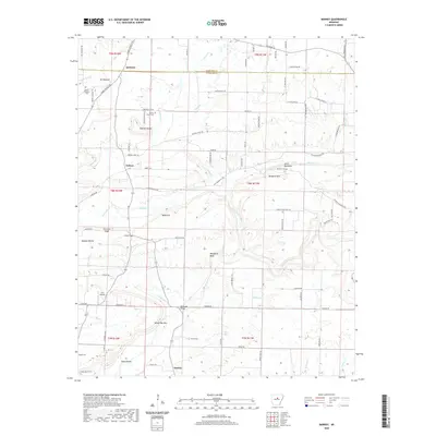
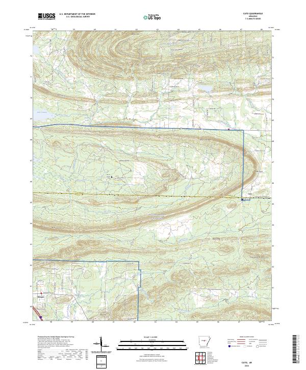
1953 Map of Cato
USGS Topo · Published 1957About this map
The boundary between Faulkner and Pulaski Counties runs through a landscape defined by military operations and rural community centers in the mid-1950s. Much of the central terrain is occupied by the National Guard Training Area, including the site of (Former Camp J T Robinson). This military presence is anchored by Clifton Mountain and the prominent Rock Ridge, creating a distinct division between the reservation and the surrounding agricultural settlements.
Find a feature on this map
44 named features on this map. Tap any name to fly to it.
Don’t see what you’re looking for? This feature index may not catch every label — zoom into the map to look around manually.
Map Details
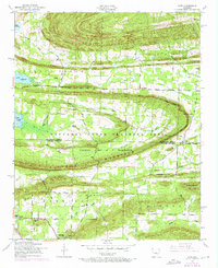
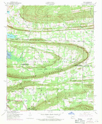
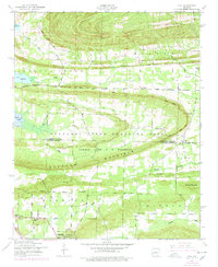
Editions of this 1953 Cato Map
4 editions found
Historical Maps of Maumelle Through Time
29 maps found
1953 Cato
Faulkner County, AR
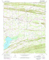
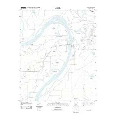
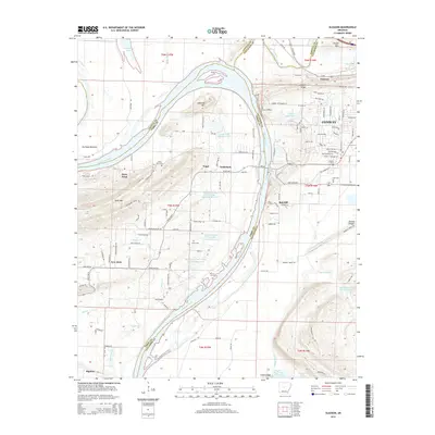
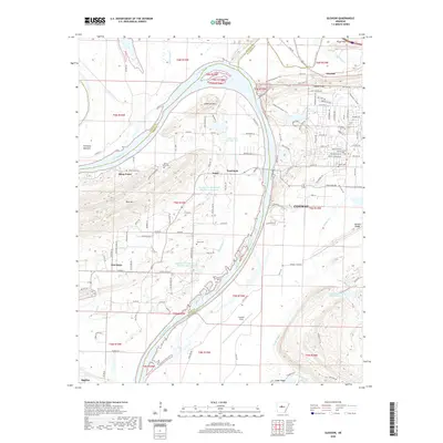
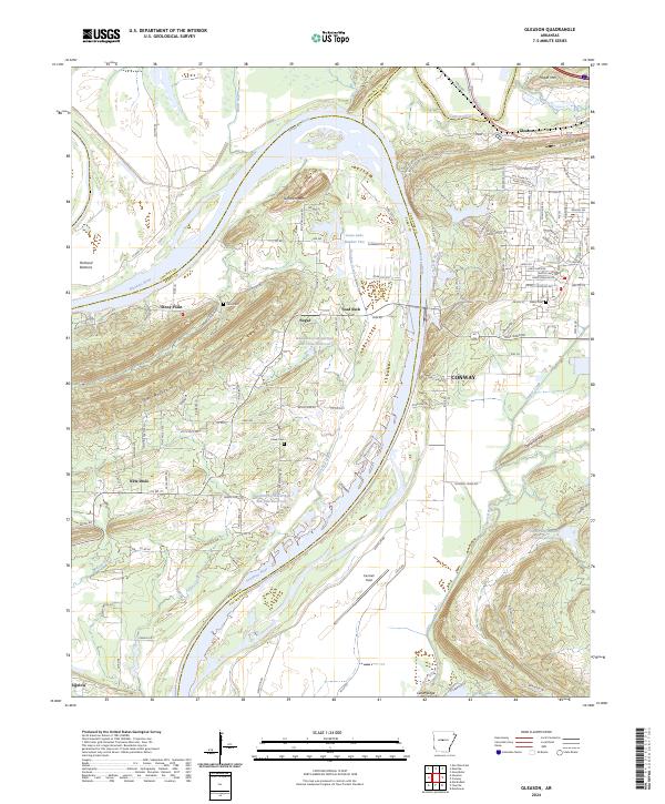
1961 Gleason
Faulkner County, AR
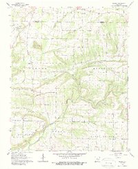
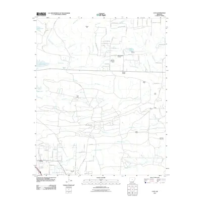
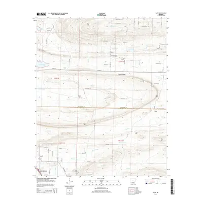
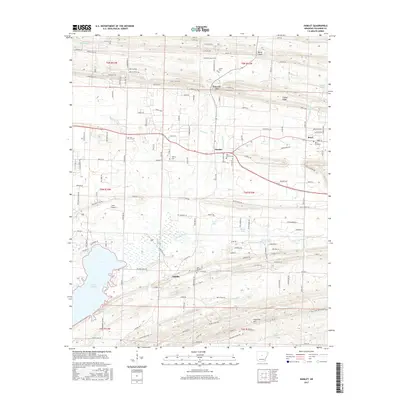
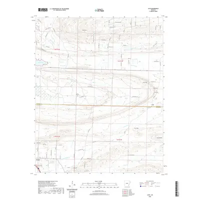
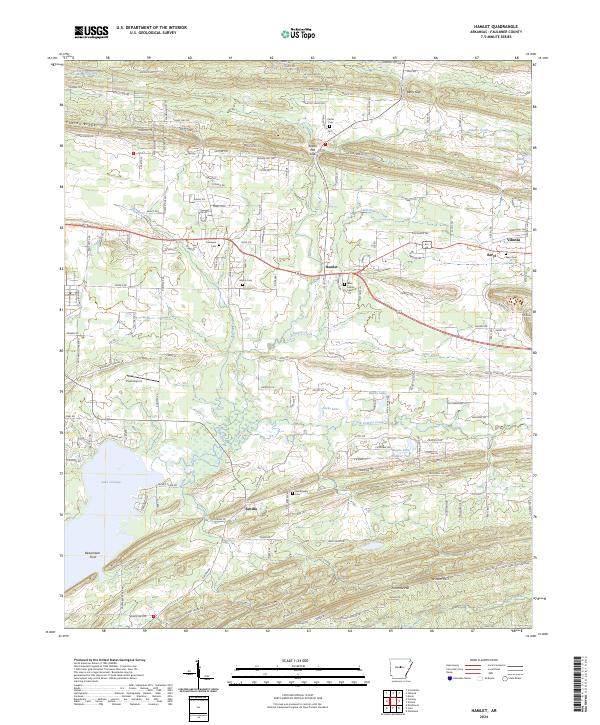
1961 Hamlet
Faulkner County, AR
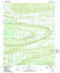
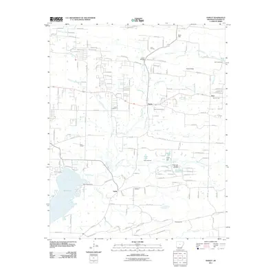
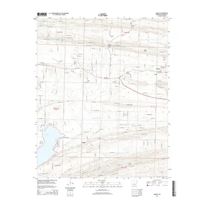
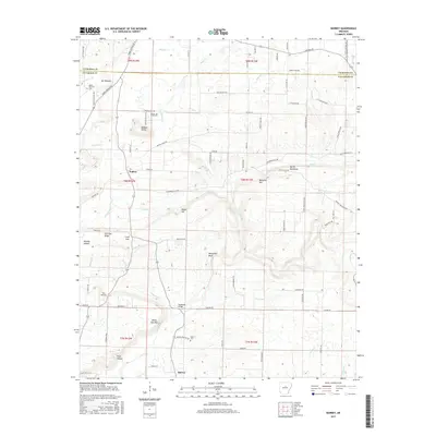
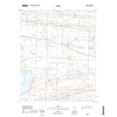
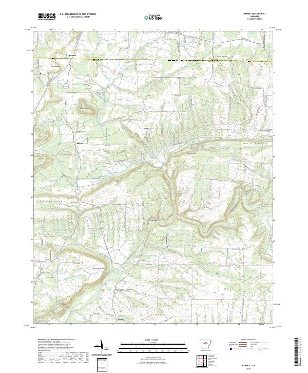
1963 Barney
Faulkner County, AR
1987 Cato
Faulkner County, AR
1991 Gleason
Faulkner County, AR
1994 Barney
Faulkner County, AR
1994 Cato
Faulkner County, AR
1994 Hamlet
Faulkner County, AR
2011 Barney
Faulkner County, AR
2011 Cato
Faulkner County, AR
2011 Gleason
Faulkner County, AR
2011 Hamlet
Faulkner County, AR
2014 Barney
Faulkner County, AR
2014 Cato
Faulkner County, AR
2014 Gleason
Faulkner County, AR
2014 Hamlet
Faulkner County, AR
2017 Barney
Faulkner County, AR
2017 Cato
Faulkner County, AR
2017 Gleason
Faulkner County, AR
2017 Hamlet
Faulkner County, AR
2020 Barney
Faulkner County, AR
2020 Cato
Faulkner County, AR
2020 Gleason
Faulkner County, AR
2020 Hamlet
Faulkner County, AR
2024 Barney
Faulkner County, AR
2024 Cato
Faulkner County, AR
2024 Gleason
Faulkner County, AR
2024 Hamlet
Faulkner County, AR