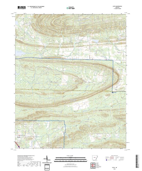
2024 Map of Cato
USGS Topo · Published 2024About this map
Camp Joseph Robinson and the NG Camp Joseph T Robinson dominate the southern half of this landscape, marking a significant military presence where the terrain begins to rise toward the north. This area is characterized by the complex drainage systems of White Oak Bayou and Kellogg Creek, which flow through the southern lowlands near the community of Morgan. The landscape transitions from these wetlands and bayous into more elevated terrain to the north, including named summits such as Clifton Mountain and Flat Rock Mtn.
Find a feature on this map
87 named features on this map. Tap any name to fly to it.
Don’t see what you’re looking for? This feature index may not catch every label — zoom into the map to look around manually.
Map Details
Editions of this 2024 Cato Map
This is the sole edition of this map. No revisions or reprints were ever made.
Other maps of this area

1891 · Little Rock
USGS Topo · 1:125,000

1893 · Little Rock
USGS Topo · 1:125,000

1935 · Mc Almont
USGS Topo · 1:24,000

1935 · North Little Rock
USGS Topo · 1:24,000

1941 · Olmstead
USGS Topo · 1:31,680

1943 · Pinnacle Mtn
USGS Topo · 1:31,680

1953 · Cato
USGS Topo · 1:24,000

1953 · Mayflower
USGS Topo · 1:24,000
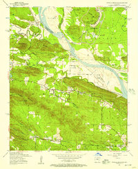
1954 · Pinnacle Mountain
USGS Topo · 1:24,000

1954 · Mc Almont
USGS Topo · 1:24,000