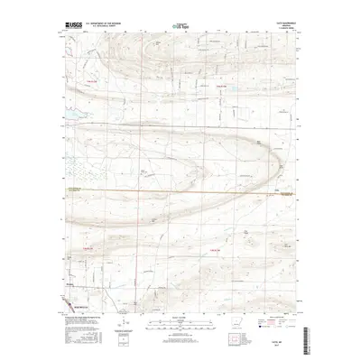
2017 Map of Cato
USGS Topo · Published 2017About this map
Cato sits at the intersection of local history and modern transition on this Arkansas landscape. The terrain is defined by prominent elevations such as Clifton Mtn and Flat Rock Mtn, which overlook a network of water bodies including Lake Conway and Bayou Meto. The boundary between Faulkner and Pulaski Counties runs through the center of the sheet, marking a divide between the growing residential developments of Maumelle and Morgan to the south and more rural lands to the north.
Find a feature on this map
85 named features on this map. Tap any name to fly to it.
Don’t see what you’re looking for? This feature index may not catch every label — zoom into the map to look around manually.
Map Details
Editions of this 2017 Cato Map
This is the sole edition of this map. No revisions or reprints were ever made.
Other maps of this area

1891 · Little Rock
USGS Topo · 1:125,000

1893 · Little Rock
USGS Topo · 1:125,000

1935 · Mc Almont
USGS Topo · 1:24,000

1935 · North Little Rock
USGS Topo · 1:24,000

1941 · Olmstead
USGS Topo · 1:31,680

1943 · Pinnacle Mtn
USGS Topo · 1:31,680

1953 · Cato
USGS Topo · 1:24,000

1953 · Mayflower
USGS Topo · 1:24,000
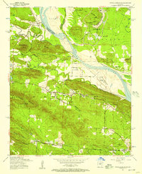
1954 · Pinnacle Mountain
USGS Topo · 1:24,000

1954 · Mc Almont
USGS Topo · 1:24,000