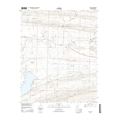
2014 Map of Hamlet
USGS Topo · Published 2014About this map
Vilonia and the surrounding Arkansas countryside are defined by a network of small settlements and local watercourses in this 2014 topographic study. The landscape is punctuated by several small communities, including Hamlet, Saltillo, and Beryl, each with their own local landmarks and burial grounds such as New Liberty Cem and Oak Bowery Cem. The topography is shaped by the prominent Cadron Ridge and the winding paths of Palarm Cr and Little Palarm Cr, which drain toward the expanse of Lake Conway in the southwest corner of the quadrangle.
Find a feature on this map
156 named features on this map. Tap any name to fly to it.
Don’t see what you’re looking for? This feature index may not catch every label — zoom into the map to look around manually.
Map Details
Editions of this 2014 Hamlet Map
This is the sole edition of this map. No revisions or reprints were ever made.
Other maps of this area

1891 · Little Rock
USGS Topo · 1:125,000

1893 · Little Rock
USGS Topo · 1:125,000

1941 · Olmstead
USGS Topo · 1:31,680

1953 · Cato
USGS Topo · 1:24,000

1953 · Mayflower
USGS Topo · 1:24,000

1954 · Olmstead
USGS Topo · 1:24,000

1955 · Little Rock
USGS Topo · 1:250,000

1956 · Little Rock
USGS Topo · 1:250,000

1956 · Russellville
USGS Topo · 1:250,000

1960 · Little Rock
USGS Topo · 1:250,000