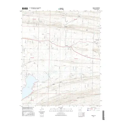
2017 Map of Hamlet
USGS Topo · Published 2017About this map
Cadron Ridge and Fourmile Hill define the topographic character of this Faulkner County landscape, where small rural communities are linked by a network of winding roads and creeks. The settlement of Hamlet serves as a central point, situated near the headwaters of Haw Cr, while Beryl and Saltillo anchor the eastern and southern reaches. Local heritage is preserved in several small burial grounds, including Carter Cem, Liberty Cem, and Oak Bowery Cem. The southwestern portion of the sheet is dominated by the sprawling waters of Lake Conway, a significant geographical feature fed by Panther Cr. The map reveals a transition from the higher elevations near Berry Gap and Roden Mill Gap in the north down to the bottomlands of Bayou Meto in the south, illustrating how the terrain shaped the placement of local landmarks like Poe's Airport.
Find a feature on this map
149 named features on this map. Tap any name to fly to it.
Don’t see what you’re looking for? This feature index may not catch every label — zoom into the map to look around manually.
Map Details
Editions of this 2017 Hamlet Map
This is the sole edition of this map. No revisions or reprints were ever made.
Other maps of this area

1891 · Little Rock
USGS Topo · 1:125,000

1893 · Little Rock
USGS Topo · 1:125,000

1941 · Olmstead
USGS Topo · 1:31,680

1953 · Cato
USGS Topo · 1:24,000

1953 · Mayflower
USGS Topo · 1:24,000

1954 · Olmstead
USGS Topo · 1:24,000

1955 · Little Rock
USGS Topo · 1:250,000

1956 · Little Rock
USGS Topo · 1:250,000

1956 · Russellville
USGS Topo · 1:250,000

1960 · Little Rock
USGS Topo · 1:250,000