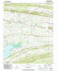
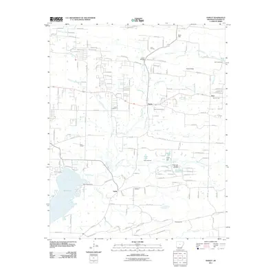
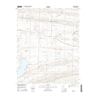
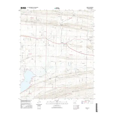
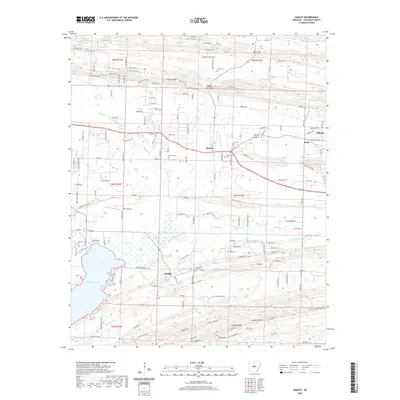
1994 Map of Barney
USGS Topo · Published 1994About this map
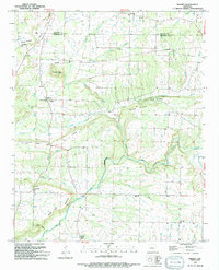
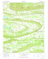
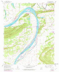
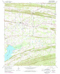
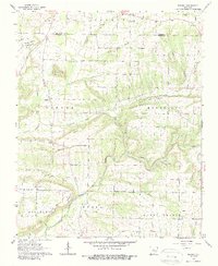
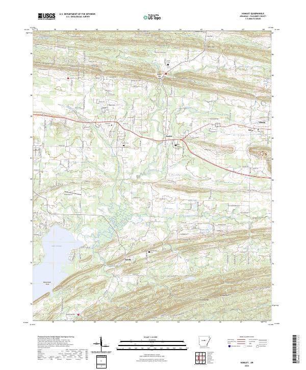
Mount Pleasant and Enders anchor the northern landscape of this Arkansas region, where the Cleburne Co Faulkner Co line cuts across a series of prominent ridges and creek valleys. The terrain is defined by dramatic elevations such as Buffalo Hump, Beckette Mountain, and the long ridge of Devils Backbone, which separate the various tributaries feeding the East Fork Cadron Creek. These watercourses, including Nichols Creek and Clear Creek, dictate the placement of local thoroughfares and historic settlements.
Find a feature on this map
45 named features on this map. Tap any name to fly to it.
Don’t see what you’re looking for? This feature index may not catch every label — zoom into the map to look around manually.
Map Details
Editions of this 1994 Barney Map
This is the sole edition of this map. No revisions or reprints were ever made.
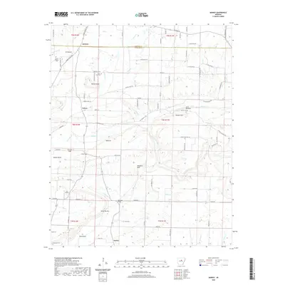
Historical Maps of Quitman Through Time
29 maps found
1953 Cato
Faulkner County, AR
1961 Gleason
Faulkner County, AR
1961 Hamlet
Faulkner County, AR
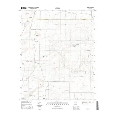
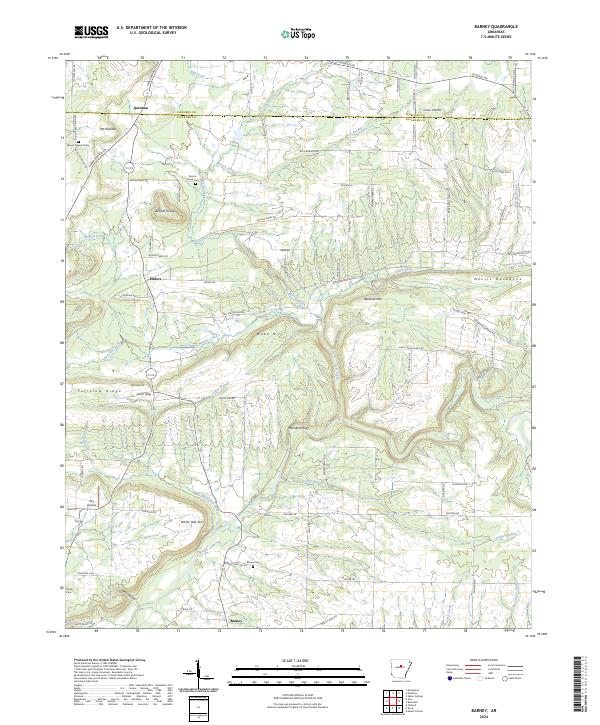
1963 Barney
Faulkner County, AR
1987 Cato
Faulkner County, AR
1991 Gleason
Faulkner County, AR
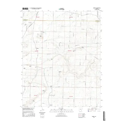
1994 Barney
Faulkner County, AR
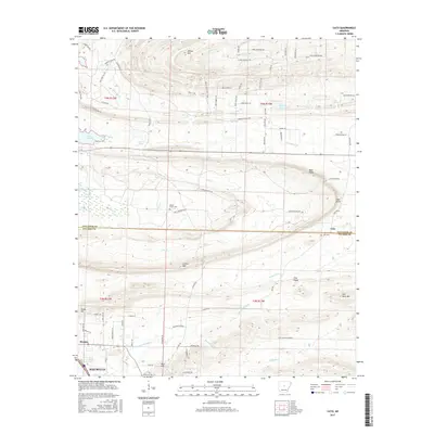
1994 Cato
Faulkner County, AR
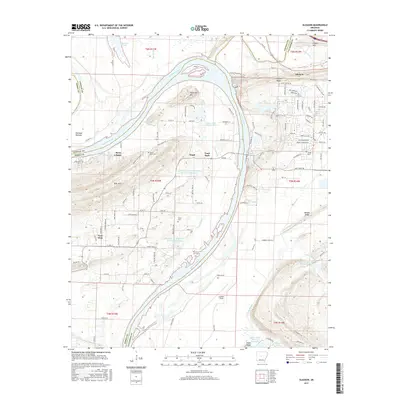
1994 Hamlet
Faulkner County, AR
2011 Barney
Faulkner County, AR
2011 Cato
Faulkner County, AR
2011 Gleason
Faulkner County, AR
2011 Hamlet
Faulkner County, AR
2014 Barney
Faulkner County, AR
2014 Cato
Faulkner County, AR
2014 Gleason
Faulkner County, AR
2014 Hamlet
Faulkner County, AR
2017 Barney
Faulkner County, AR
2017 Cato
Faulkner County, AR
2017 Gleason
Faulkner County, AR
2017 Hamlet
Faulkner County, AR
2020 Barney
Faulkner County, AR
2020 Cato
Faulkner County, AR
2020 Gleason
Faulkner County, AR
2020 Hamlet
Faulkner County, AR
2024 Barney
Faulkner County, AR
2024 Cato
Faulkner County, AR
2024 Gleason
Faulkner County, AR
2024 Hamlet
Faulkner County, AR