
1963 Map of Quitman
USGS Topo · Published 1964About this map
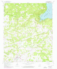
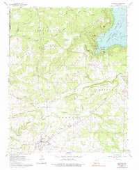
Quitman serves as the primary hub in this early 1960s landscape, positioned near the boundary of Cleburne and Van Buren counties. The topography is defined by the significant presence of Greers Ferry Reservoir in the northeast, where Goff Point, Stark Point, and Bean Point reach into the recently formed waters of Goff Cove. This era shows the transition of the region from purely terrestrial river valleys to a reservoir-centric landscape, with the historic Treaty Boundary still clearly marked across the hills near Center Post.
Find a feature on this map
46 named features on this map. Tap any name to fly to it.
Don’t see what you’re looking for? This feature index may not catch every label — zoom into the map to look around manually.
Map Details
Editions of this 1963 Quitman Map
3 editions found
Other maps of this area

1892 · Mountain View
USGS Topo · 1:125,000

1894 · Mountain View
USGS Topo · 1:125,000

1956 · Russellville
USGS Topo · 1:250,000

1961 · Bee Branch
USGS Topo · 1:62,500

1961 · Morganton
USGS Topo · 1:24,000

1961 · Guy
USGS Topo · 1:24,000

1963 · Rose Bud
USGS Topo · 1:24,000
1963 · Barney
USGS Topo · 1:24,000
1963 · Heber Springs
USGS Topo · 1:24,000

1964 · Russellville
USGS Topo · 1:250,000