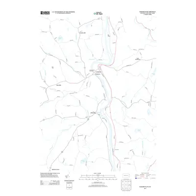
2013 Map of Damascus
USGS Topo · Published 2013About this map
Damascus and Cochecton sit as prominent points of connection on opposite banks of the river, linked by the Cochecton Dam Road Bridge in this 2013 survey. The landscape is defined by the winding paths of Beaverdam Cr and Calkins Cr, which drain through the upland terrain of Conklin Hill and past the valley floor at Big Island. Smaller hamlets and rural crossroads such as Milanville, Tyler Hill, and Stanton Corner are connected by a dense network of local routes like Lassley Rd and Brook Rd.
Find a feature on this map
95 named features on this map. Tap any name to fly to it.
Don’t see what you’re looking for? This feature index may not catch every label — zoom into the map to look around manually.
Map Details
Editions of this 2013 Damascus Map
This is the sole edition of this map. No revisions or reprints were ever made.
Other maps of this area

1920 · Long Eddy
USGS Topo · 1:62,500

1920 · Damascus
USGS Topo · 1:62,500

1921 · Long Eddy
USGS Topo · 1:48,000

1921 · Livingston Manor
USGS Topo · 1:62,500

1922 · White Lake
USGS Topo · 1:62,500

1923 · Damascus
USGS Topo · 1:62,500

1923 · Long Eddy
USGS Topo · 1:62,500

1923 · Livingston Manor
USGS Topo · 1:62,500

1942 · White Lake
USGS Topo · 1:62,500

1943 · Honesdale
USGS Topo · 1:125,000