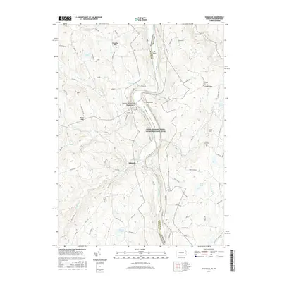
2016 Map of Damascus
USGS Topo · Published 2016About this map
Damascus and Milanville anchor the western banks of the Delaware River in this 2016 survey of the Pennsylvania-New York borderlands. The landscape is defined by the sharp descent into the Delaware River Gorge, where the water serves as the state line between Wayne Co, Pennsylvania, and Sullivan Co, New York. This area, protected as part of the Upper Delaware Scenic and Recreational River, preserves a rural character marked by numerous small cemeteries such as Overlook Cem and Hillside Cem, which offer significant genealogical value for local families.
Find a feature on this map
86 named features on this map. Tap any name to fly to it.
Don’t see what you’re looking for? This feature index may not catch every label — zoom into the map to look around manually.
Map Details
Editions of this 2016 Damascus Map
This is the sole edition of this map. No revisions or reprints were ever made.
Other maps of this area

1920 · Long Eddy
USGS Topo · 1:62,500

1920 · Damascus
USGS Topo · 1:62,500

1921 · Long Eddy
USGS Topo · 1:48,000

1921 · Livingston Manor
USGS Topo · 1:62,500

1922 · White Lake
USGS Topo · 1:62,500

1923 · Damascus
USGS Topo · 1:62,500

1923 · Long Eddy
USGS Topo · 1:62,500

1923 · Livingston Manor
USGS Topo · 1:62,500

1942 · White Lake
USGS Topo · 1:62,500

1943 · Honesdale
USGS Topo · 1:125,000