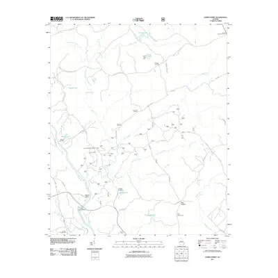
2011 Map of Dames Ferry
USGS Topo · Published 2011About this map
The Ocmulgee River serves as the geographic anchor for this portion of Georgia, where the historic Dames Ferry crossing and the S A Hodge Senior Bridge connect the banks near Rum Creek. The landscape is a network of rural routes and water features, characterized by numerous small impoundments such as Hodges Lake, Mitchell Lake, and Steed Lake, each with its own identified dam. These water bodies, along with the winding course of Falling Creek, define the local drainage patterns as they move toward the river.
Find a feature on this map
47 named features on this map. Tap any name to fly to it.
Don’t see what you’re looking for? This feature index may not catch every label — zoom into the map to look around manually.
Map Details
Editions of this 2011 Dames Ferry Map
This is the sole edition of this map. No revisions or reprints were ever made.
Other maps of this area

1951 · Forsyth
USGS Topo · 1:62,500

1953 · Athens
USGS Topo · 1:250,000

1956 · Bolingbroke
USGS Topo · 1:62,500

1956 · Macon
USGS Topo · 1:62,500

1957 · Macon
USGS Topo · 1:250,000

1958 · Macon
USGS Topo · 1:250,000

1958 · Athens
USGS Topo · 1:250,000

1959 · Athens
USGS Topo · 1:250,000

1963 · Athens
USGS Topo · 1:250,000

1964 · Macon
USGS Topo · 1:250,000