Loading...
Loading map...2022 Map of Damon
USGS Topo · Published 2022About this map
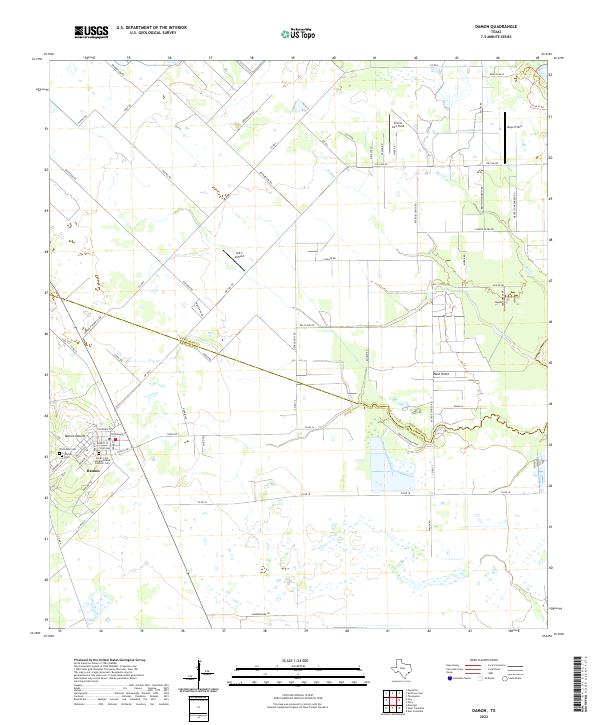
Damon Mound and Nash Dome dominate the flat coastal landscape of the Fort Bend and Brazoria county line, reflecting the underlying salt dome geology that historically influenced local oil and sulfur production. The settlement of Damon serves as the primary hub, clustered around the base of the mound where local history is preserved at the Damon Cem, Yelderman Cem, and the Saints Cyril and Methodius Catholic Cem.
Find a feature on this map
70 named features on this map. Tap any name to fly to it.
Don’t see what you’re looking for? This feature index may not catch every label — zoom into the map to look around manually.
Map Details
Date Portrayed2022
Date Published2022
PublisherU.S. Geological Survey
Map TypeTopographic
Scale1:24000
Physical Dimensions24 x 29 inches
Editions of this 2022 Damon Map
This is the sole edition of this map. No revisions or reprints were ever made.
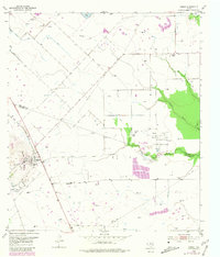
Historical Maps of Damon Through Time
Featured Locations
Source Details
SourceU.S. Geological Survey
CopyrightPublic Domain