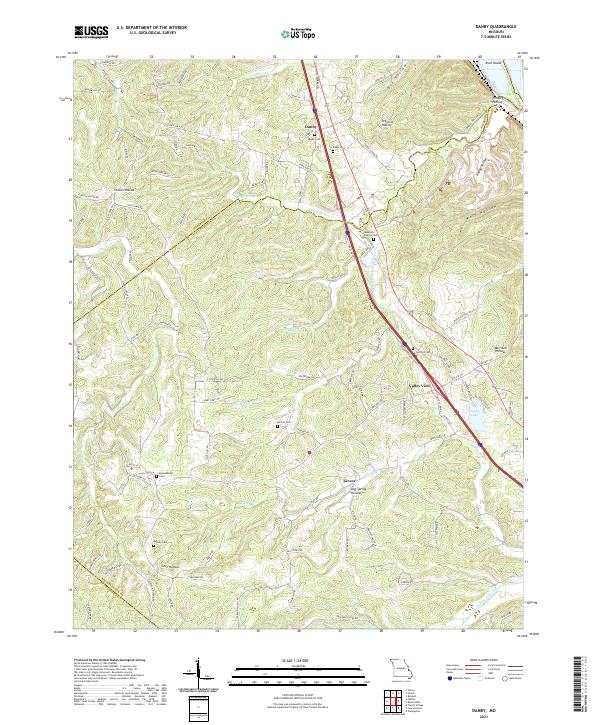
2021 Map of Danby
USGS Topo · Published 2021About this map
Danby and Kinsey anchor this portion of the eastern Ozark foothills, where the landscape is defined by a dense network of hollows and creek drainages. The Isle du Bois Creek and its various tributaries, including the South Fork Isle du Bois Creek, carve through the terrain, creating the deep recesses of Big Hollow and Wolf Hollow. This topographic detail highlights how early settlement patterns followed these natural corridors, with many small family and community burial sites situated on higher ground near the water.
Find a feature on this map
108 named features on this map. Tap any name to fly to it.
Don’t see what you’re looking for? This feature index may not catch every label — zoom into the map to look around manually.
Map Details
Editions of this 2021 Danby Map
This is the sole edition of this map. No revisions or reprints were ever made.
Other maps of this area

1904 · Farmington
USGS Topo · 1:62,500

1906 · Farmington
USGS Topo · 1:62,500

1907 · Weingarten
USGS Topo · 1:62,500

1909 · Weingarten
USGS Topo · 1:62,500

1915 · Renault
USGS Topo · 1:62,500

1915 · Crystal City
USGS Topo · 1:62,500

1940 · Renault
USGS Topo · 1:62,500

1949 · Saint Louis
USGS Topo · 1:250,000

1949 · Rolla
USGS Topo · 1:250,000

1949 · Crystal City
USGS Topo · 1:62,500