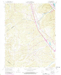
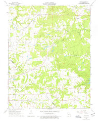
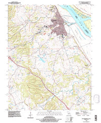
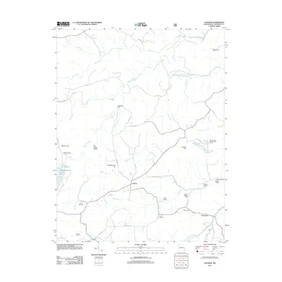
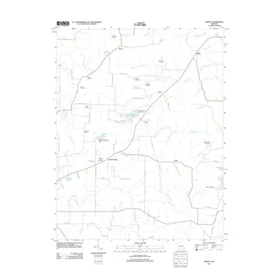
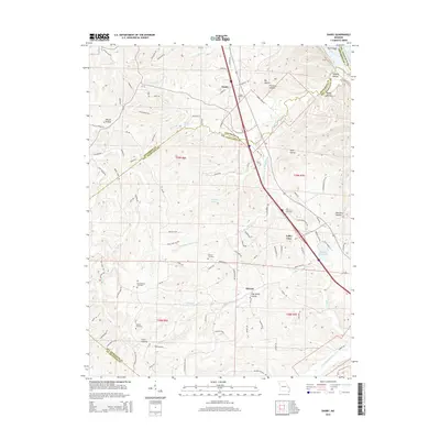
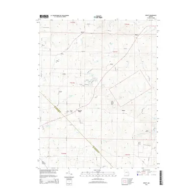
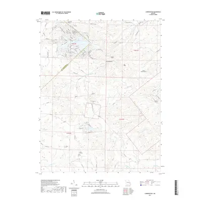
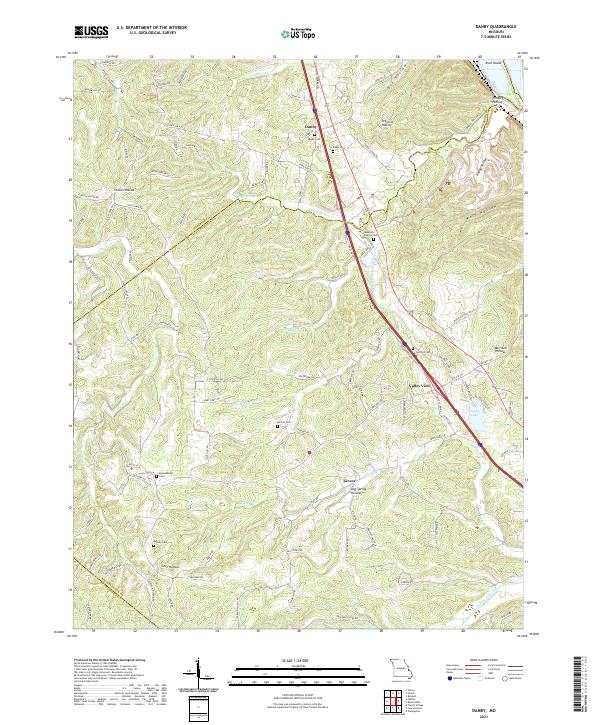
1964 Map of Danby
USGS Topo · Published 1982About this map
Danby sits at the northern end of this rural landscape where the border of Jefferson and Ste. Genevieve counties meets the Isle du Bois Cr. This survey captures a remote interior of Missouri marked by family-named landmarks and an intricate network of hollows, such as Hocum Hollow and Prentiss Hollow. Genealogists will find several burial sites preserved here, including Baker Cem, Bockenkamp Cem, and Moeller Cem, which are scattered throughout the hills of Jackson and Marion townships.
Find a feature on this map
34 named features on this map. Tap any name to fly to it.
Don’t see what you’re looking for? This feature index may not catch every label — zoom into the map to look around manually.
Map Details
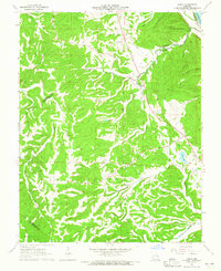
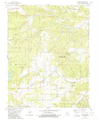
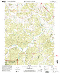
Editions of this 1964 Danby Map
2 editions found
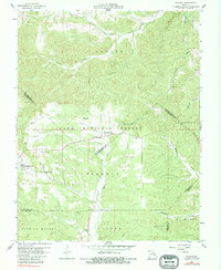
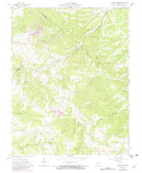
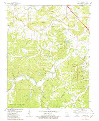
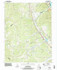
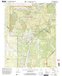
Historical Maps of Valley View Through Time
39 maps found
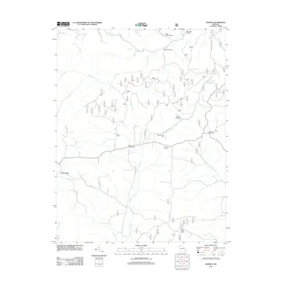
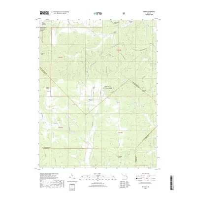
1959 Womack
Ste. Genevieve County, MO
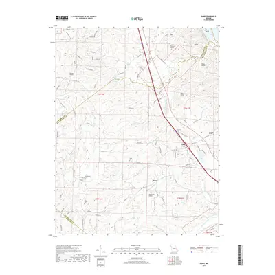
1964 Danby
Ste. Genevieve County, MO
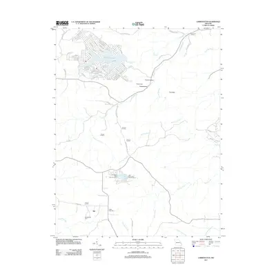
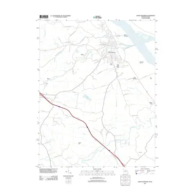
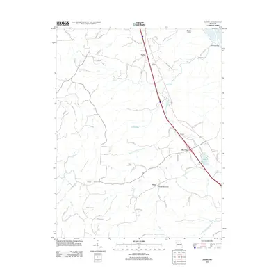
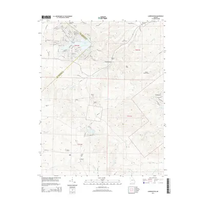
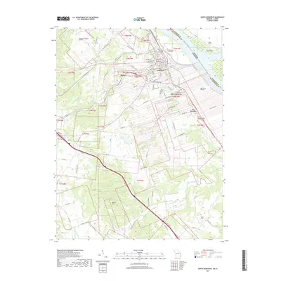
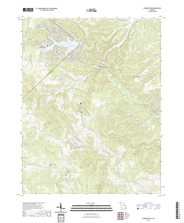
1964 Lawrenceton
Ste. Genevieve County, MO
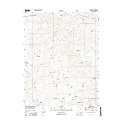
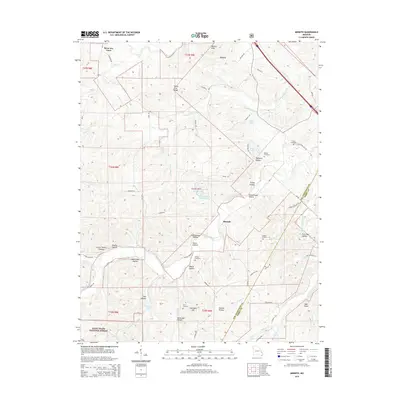
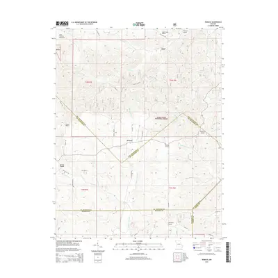
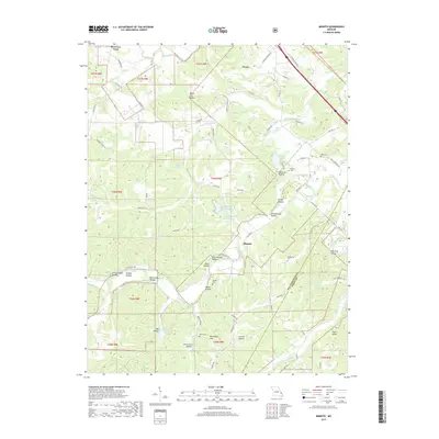
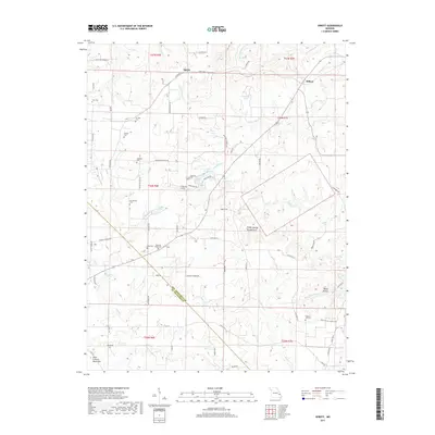
1964 Sprott
Ste. Genevieve County, MO
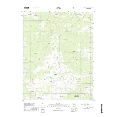
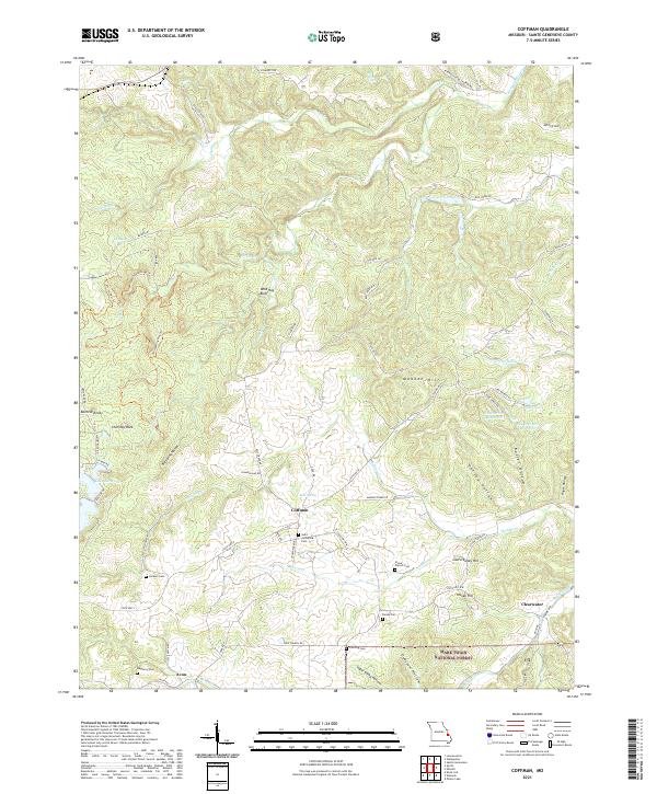
1980 Coffman
Ste. Genevieve County, MO
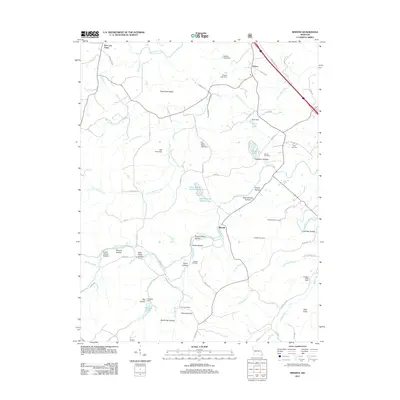
1980 Minnith
Ste. Genevieve County, MO
1993 Danby
Ste. Genevieve County, MO
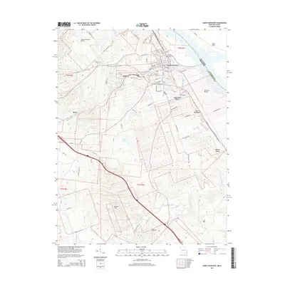
1993 Ste Genevieve
Ste. Genevieve County, MO
2000 Minnith
Ste. Genevieve County, MO
2000 Womack
Ste. Genevieve County, MO
2002 Coffman
Ste. Genevieve County, MO
2011 Coffman
Ste. Genevieve County, MO
2011 Lawrenceton
Ste. Genevieve County, MO
2011 Minnith
Ste. Genevieve County, MO
2011 Sainte Genevieve
Ste. Genevieve County, MO
2011 Sprott
Ste. Genevieve County, MO
2011 Womack
Ste. Genevieve County, MO
2012 Danby
Ste. Genevieve County, MO
2015 Coffman
Ste. Genevieve County, MO
2015 Danby
Ste. Genevieve County, MO
2015 Lawrenceton
Ste. Genevieve County, MO
2015 Minnith
Ste. Genevieve County, MO
2015 Sainte Genevieve
Ste. Genevieve County, MO
2015 Sprott
Ste. Genevieve County, MO
2015 Womack
Ste. Genevieve County, MO
2017 Coffman
Ste. Genevieve County, MO
2017 Danby
Ste. Genevieve County, MO
2017 Lawrenceton
Ste. Genevieve County, MO
2017 Minnith
Ste. Genevieve County, MO
2017 Sainte Genevieve
Ste. Genevieve County, MO
2017 Sprott
Ste. Genevieve County, MO
2017 Womack
Ste. Genevieve County, MO
2021 Coffman
Ste. Genevieve County, MO
2021 Danby
Ste. Genevieve County, MO
2021 Lawrenceton
Ste. Genevieve County, MO
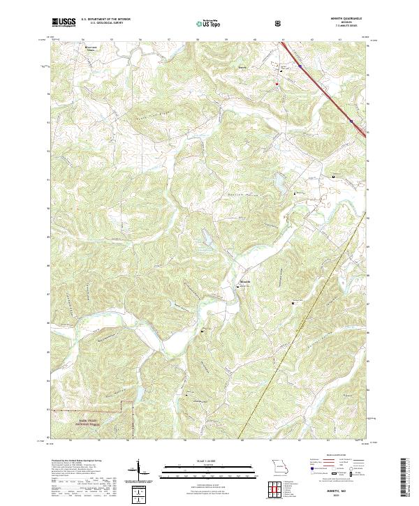
2021 Minnith
Ste. Genevieve County, MO
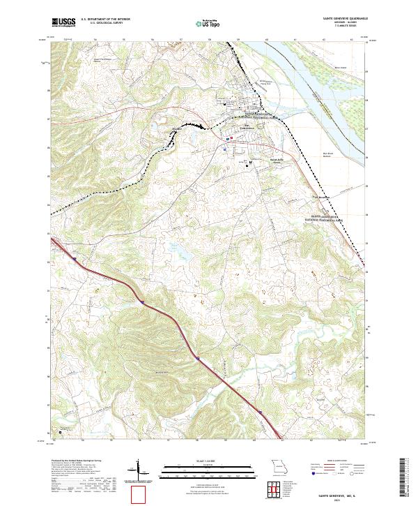
2021 Sainte Genevieve
Ste. Genevieve County, MO
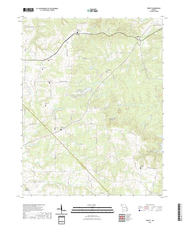
2021 Sprott
Ste. Genevieve County, MO
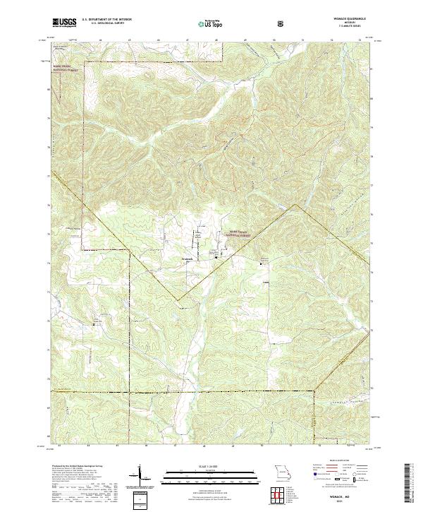
2021 Womack
Ste. Genevieve County, MO