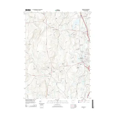
2015 Map of Danielson
USGS Topo · Published 2015About this map
The Quinebaug River corridor in northeastern Connecticut serves as the industrial and social spine of this region, anchoring settlements like Danielson, Dayville, and Brooklyn. This 2015 update details a landscape defined by its textile-mill heritage and modern connectivity, where the Providence and Worcester RR parallels the river through the heart of the valley. Significant landmarks such as the Israel Putnam Memorial and the historic Old Trinity Church Cem reflect the area's deep colonial roots, while the presence of the Quinebaug Valley Community Coll indicates contemporary regional development.
Find a feature on this map
208 named features on this map. Tap any name to fly to it.
Don’t see what you’re looking for? This feature index may not catch every label — zoom into the map to look around manually.
Map Details
Editions of this 2015 Danielson Map
This is the sole edition of this map. No revisions or reprints were ever made.
Other maps of this area

1889 · Putnam
USGS Topo · 1:62,500

1889 · Moosup
USGS Topo · 1:62,500

1892 · Woodstock
USGS Topo · 1:62,500

1892 · Norwich
USGS Topo · 1:62,500

1893 · Putnam
USGS Topo · 1:62,500

1893 · Moosup
USGS Topo · 1:62,500

1919 · Putnam
USGS Topo · 1:62,500

1920 · Moosup
USGS Topo · 1:62,500

1921 · Woodstock
USGS Topo · 1:62,500

1943 · Plainfield
USGS Topo · 1:31,680