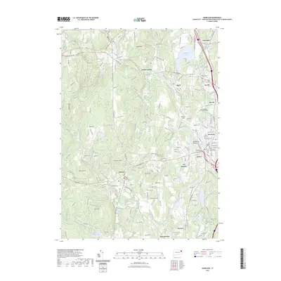
2023 Map of Danielson
USGS Topo · Published 2023About this map
The Quinebaug River serves as the primary artery for this portion of Windham County, carving a path through industrial and residential centers. The landscape is defined by its legacy of manufacturing and civic importance, evidenced by the State of Connecticut Superior Court in Danielson and the Quinebaug Valley Community College to the north. Settlement is dense along the riverbanks, particularly in the village of East Brooklyn and the distinctive landform known as Between the Rivers Neck where the Quinebaug meets the Fivemile River.
Find a feature on this map
196 named features on this map. Tap any name to fly to it.
Don’t see what you’re looking for? This feature index may not catch every label — zoom into the map to look around manually.
Map Details
Editions of this 2023 Danielson Map
This is the sole edition of this map. No revisions or reprints were ever made.
Other maps of this area

1889 · Putnam
USGS Topo · 1:62,500

1889 · Moosup
USGS Topo · 1:62,500

1892 · Woodstock
USGS Topo · 1:62,500

1892 · Norwich
USGS Topo · 1:62,500

1893 · Putnam
USGS Topo · 1:62,500

1893 · Moosup
USGS Topo · 1:62,500

1919 · Putnam
USGS Topo · 1:62,500

1920 · Moosup
USGS Topo · 1:62,500

1921 · Woodstock
USGS Topo · 1:62,500

1943 · Plainfield
USGS Topo · 1:31,680