Loading...
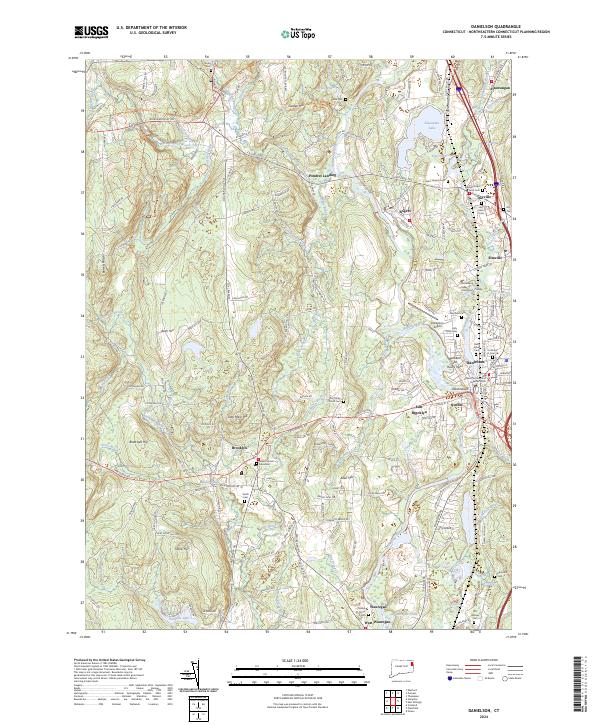
Loading map...2024 Map of Danielson
USGS Topo · Published 2024About this map
The Quinebaug River corridor anchors this modern landscape, where historical mill villages and industrial centers like Danielson and Wauregan continue to shape the regional identity of eastern Connecticut. The map highlights the significant local presence of the State of Connecticut Superior Court and Quinebaug Valley Community College, marking the area as a vital civic and educational hub.
Find a feature on this map
184 named features on this map. Tap any name to fly to it.
Don’t see what you’re looking for? This feature index may not catch every label — zoom into the map to look around manually.
Map Details
Date Portrayed2024
Date Published2024
PublisherU.S. Geological Survey
Map TypeTopographic
Scale1:24000
Physical Dimensions24 x 29 inches
Editions of this 2024 Danielson Map
This is the sole edition of this map. No revisions or reprints were ever made.
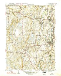
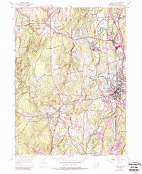
Historical Maps of Dayville Through Time
3 maps found
Featured Locations
Source Details
SourceU.S. Geological Survey
CopyrightPublic Domain