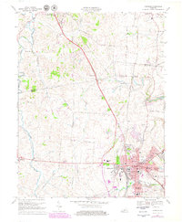
1967 Map of Danville
USGS Topo · Published 1979About this map
Danville serves as the focal point of this central Kentucky landscape, where the historic core around Constitution Square meets the institutional grounds of Centre College and the Kentucky State Sch for the Deaf. The city is surrounded by emerging residential developments such as Baughman Heights and Beverly Hills, while the northern reaches of the map retain their agrarian character, punctuated by the Southern railroad line passing through Faulconer. The terrain is shaped by the meandering Salt River and its tributaries, including Mocks Branch and Spears Creek. Significant local history is preserved at sites like the Mud Meetinghouse and Pioneer Ch, alongside numerous family-named landmarks and rural burial grounds like Salt River Ch Cem and Burgin Cem, offering a detailed view of the region's mid-century transition.
Find a feature on this map
64 named features on this map. Tap any name to fly to it.
Don’t see what you’re looking for? This feature index may not catch every label — zoom into the map to look around manually.
Map Details
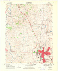
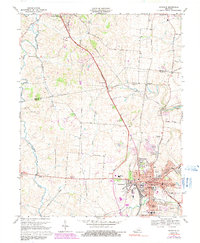
Editions of this 1967 Danville Map
3 editions found
Other maps of this area

1905 · Harrodsburg
USGS Topo · 1:125,000

1950 · Bryantsville
USGS Topo · 1:24,000

1952 · Perryville
USGS Topo · 1:24,000

1952 · Danville
USGS Topo · 1:24,000

1952 · Harrodsburg
USGS Topo · 1:24,000

1952 · Cornishville
USGS Topo · 1:24,000

1952 · Bryantsville
USGS Topo · 1:24,000

1952 · Stanford
USGS Topo · 1:24,000
1952 · Wilmore
USGS Topo · 1:24,000

1952 · Junction City
USGS Topo · 1:24,000