Loading...
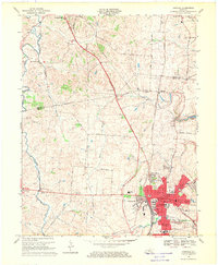
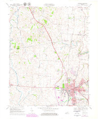
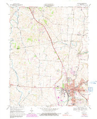
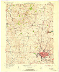
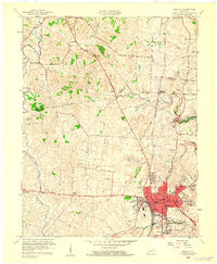
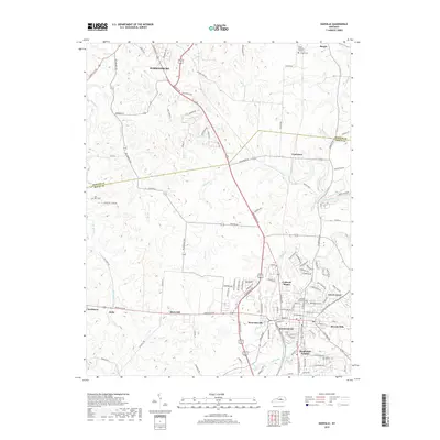
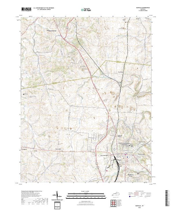
Loading map...1967 Map of Danville
USGS Topo · Published 1969About this map
Danville serves as a significant regional hub on this 1960s-era survey, where the concentrated urban core around Centre College and the State Sch For The Deaf stands in contrast to the rural landscape of northern Boyle County. The town's grid expands into newer residential developments like Beverly Hills and Baughman Heights, while the historic center remains anchored by Constitution Square and the local Courthouse.
Find a feature on this map
58 named features on this map. Tap any name to fly to it.
Don’t see what you’re looking for? This feature index may not catch every label — zoom into the map to look around manually.
Map Details
Date Portrayed1967
Date Published1969
PublisherU.S. Geological Survey
Map TypeTopographic
Scale1:24,000
Physical Dimensions22.6 x 27.5 inches
Editions of this 1967 Danville Map
3 editions found
Historical Maps of Danville Through Time
8 maps found
Featured Locations
Source Details
SourceU.S. Geological Survey
CopyrightPublic Domain