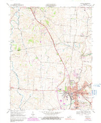
1967 Map of Danville
USGS Topo · Published 1991About this map
Centre College and the State Sch For The Deaf form the educational heart of Danville, where a dense network of streets like Main St and Broadway surround the historic Constitution Square. This mid-century landscape captures the town’s growth toward neighborhoods like Baughman Heights and Beverly Hills, while the surrounding Bluegrass countryside remains defined by family-named landmarks and historical sites. Along the Salt River and its various branches, researchers can find the Mud Meetinghouse and the Salt River Cem, reflecting the early religious and settlement history of Mercer and Boyle counties. The Southern railroad line runs north-south through the center, connecting the urban core to outlying communities like Faulconer and Burgin. From the Pioneer Playhouse on the eastern edge to the heights of Davis Hill in the west, the map documents a transition from established institutional centers to emerging residential developments.
Find a feature on this map
90 named features on this map. Tap any name to fly to it.
Don’t see what you’re looking for? This feature index may not catch every label — zoom into the map to look around manually.
Map Details
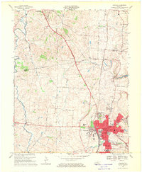
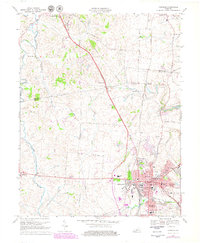
Editions of this 1967 Danville Map
3 editions found
Other maps of this area

1905 · Harrodsburg
USGS Topo · 1:125,000

1950 · Bryantsville
USGS Topo · 1:24,000

1952 · Perryville
USGS Topo · 1:24,000

1952 · Danville
USGS Topo · 1:24,000

1952 · Harrodsburg
USGS Topo · 1:24,000

1952 · Cornishville
USGS Topo · 1:24,000

1952 · Bryantsville
USGS Topo · 1:24,000

1952 · Stanford
USGS Topo · 1:24,000
1952 · Wilmore
USGS Topo · 1:24,000

1952 · Junction City
USGS Topo · 1:24,000