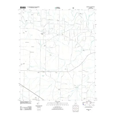
2011 Map of Danville
USGS Topo · Published 2011About this map
Danville serves as a focal point in this portion of Morgan County, situated amidst a landscape defined by small settlements and family burial grounds. The area is marked by numerous historic sites for genealogists, including the Johnson Chapel Cemetery, Puckett Cemetery, and Stovall Cemetery. To the north, the Alabama Sheriffs Boys Ranch occupies a significant tract near Neel, while the unincorporated community of Pumpkin Center sits at a crossroads further west.
Find a feature on this map
116 named features on this map. Tap any name to fly to it.
Don’t see what you’re looking for? This feature index may not catch every label — zoom into the map to look around manually.
Map Details
Editions of this 2011 Danville Map
This is the sole edition of this map. No revisions or reprints were ever made.
Other maps of this area

1888 · Cullman
USGS Topo · 1:125,000

1888 · Huntsville
USGS Topo · 1:125,000

1892 · Cullman
USGS Topo · 1:125,000

1892 · Huntsville
USGS Topo · 1:125,000

1927 · Falkville
USGS Topo · 1:24,000

1935 · Upshaw
USGS Topo · 1:24,000

1935 · Danville
USGS Topo · 1:48,000

1935 · Oakville
USGS Topo · 1:24,000

1936 · Caddo
USGS Topo · 1:24,000

1936 · Mc Kendry
USGS Topo · 1:24,000