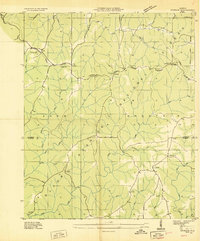
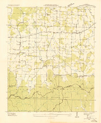
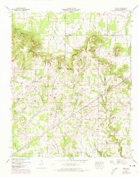
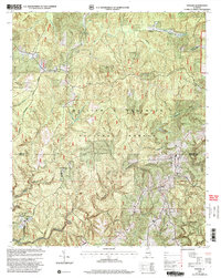
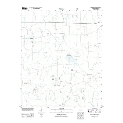
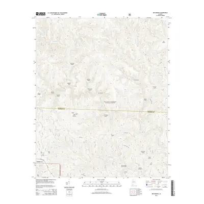
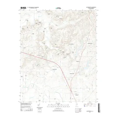
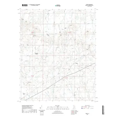
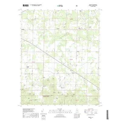
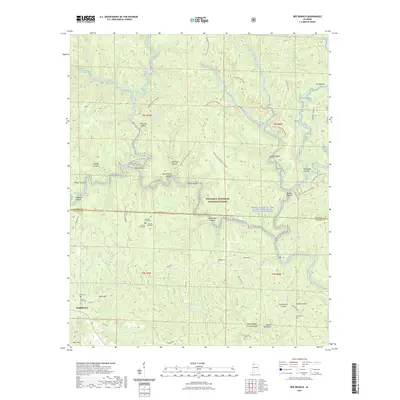
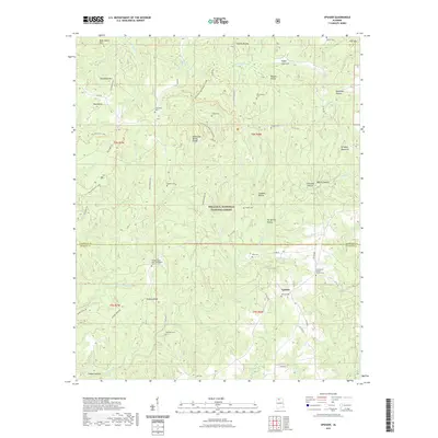
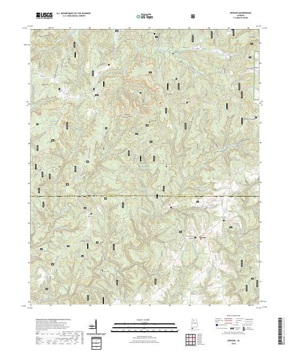
1935 Map of Upshaw
USGS Topo · Published 1935About this map
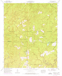
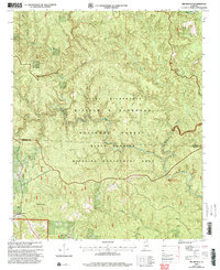
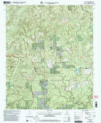
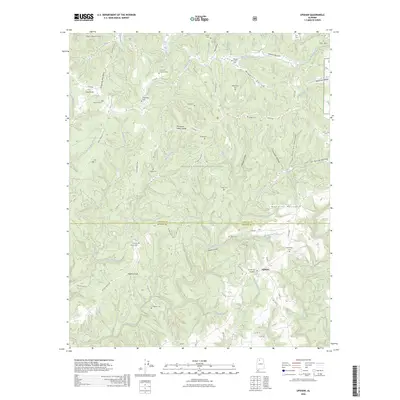
Black Warrior National Forest covers much of this mid-1930s landscape, which spans the boundary of Lawrence and Winston counties. The area is defined by the Tennessee Basin Divide, where waters flow north toward the Tennessee River or south into the Black Warrior drainage. Small rural communities like Upshaw and Lindsay Hall anchor the local geography, connected by a network of trails and unimproved roads.
Find a feature on this map
34 named features on this map. Tap any name to fly to it.
Don’t see what you’re looking for? This feature index may not catch every label — zoom into the map to look around manually.
Map Details
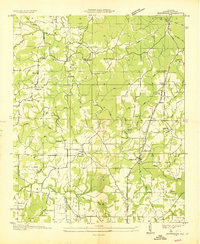
Editions of this 1935 Upshaw Map
This is the sole edition of this map. No revisions or reprints were ever made.
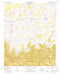
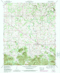
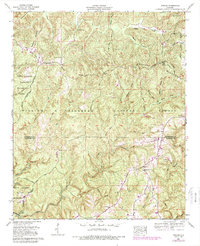
Historical Maps of Upshaw Through Time
59 maps found
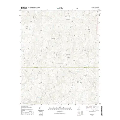
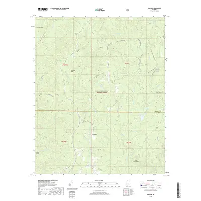
1935 Danville
Lawrence County, AL
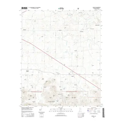
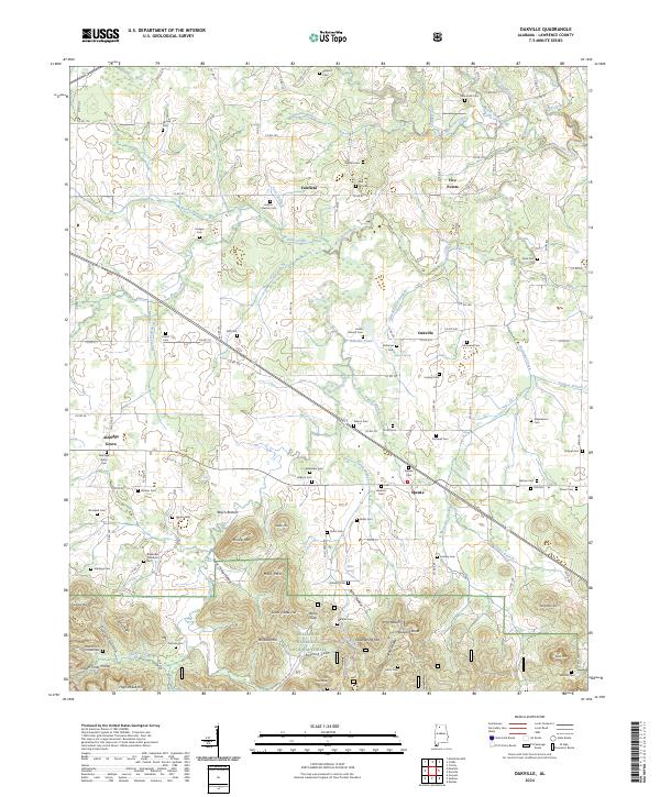
1935 Oakville
Lawrence County, AL
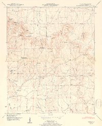
1935 Upshaw
Lawrence County, AL
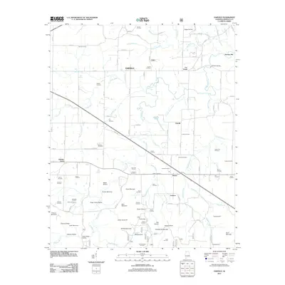
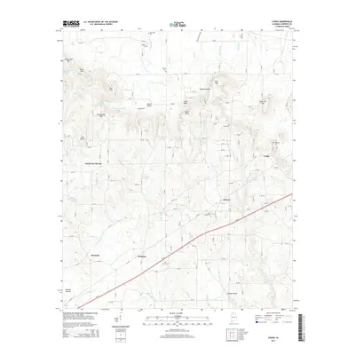
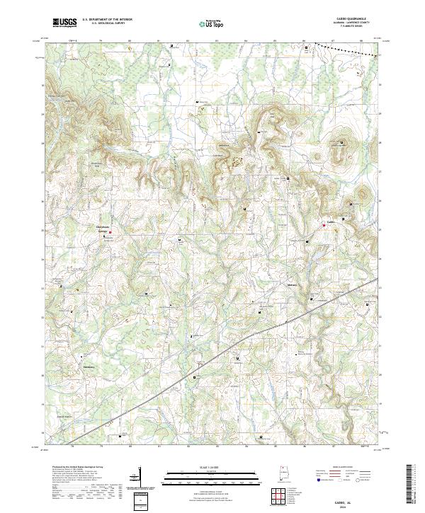
1936 Caddo
Lawrence County, AL
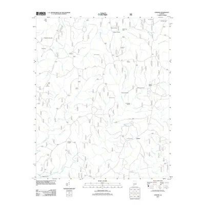
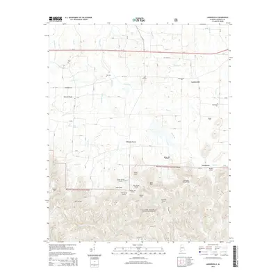
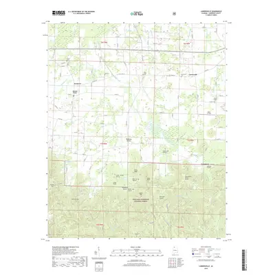
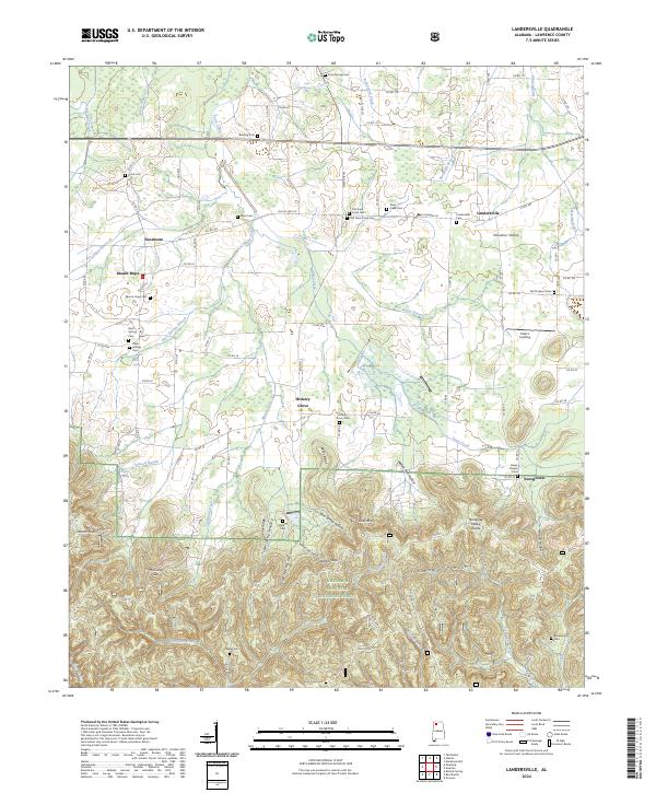
1936 Landersville
Lawrence County, AL
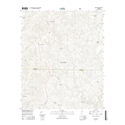
1936 Masterson
Lawrence County, AL
1936 Mt Hope
Lawrence County, AL

1938 Danville
Lawrence County, AL
1940 Mt Hope
Lawrence County, AL
1948 Caddo
Lawrence County, AL
1948 Masterson
Lawrence County, AL
1950 Caddo
Lawrence County, AL
1951 Masterson
Lawrence County, AL

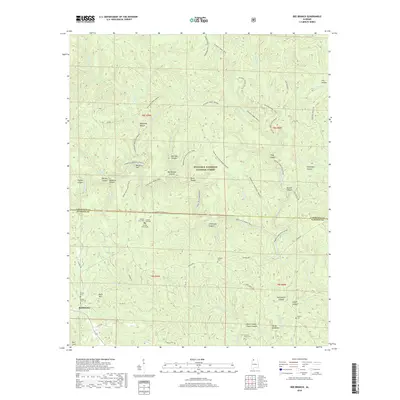
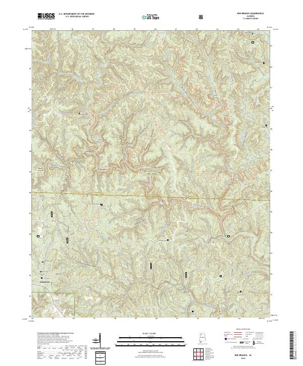
1960 Bee Branch
Lawrence County, AL
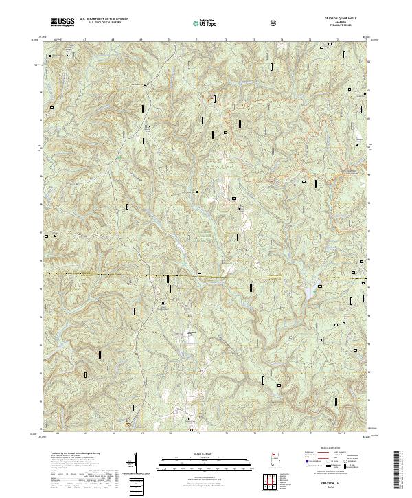
1960 Grayson
Lawrence County, AL
1960 Landersville
Lawrence County, AL
1960 Oakville
Lawrence County, AL
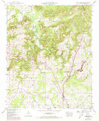
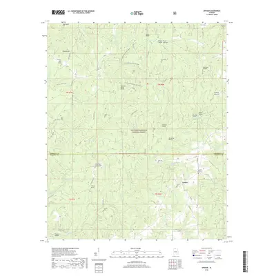
1960 Upshaw
Lawrence County, AL
2000 Bee Branch
Lawrence County, AL
2000 Grayson
Lawrence County, AL
2000 Landersville
Lawrence County, AL
2000 Oakville
Lawrence County, AL
2000 Upshaw
Lawrence County, AL
2011 Bee Branch
Lawrence County, AL
2011 Caddo
Lawrence County, AL
2011 Grayson
Lawrence County, AL
2011 Landersville
Lawrence County, AL
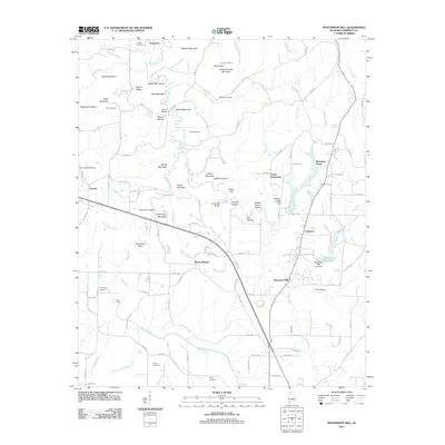
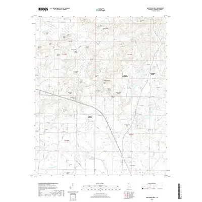
2011 Masterson Mill
Lawrence County, AL
2011 Oakville
Lawrence County, AL
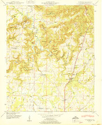
2011 Upshaw
Lawrence County, AL
2014 Bee Branch
Lawrence County, AL
2014 Caddo
Lawrence County, AL
2014 Grayson
Lawrence County, AL
2014 Landersville
Lawrence County, AL
2014 Masterson Mill
Lawrence County, AL
2014 Oakville
Lawrence County, AL
2014 Upshaw
Lawrence County, AL
2018 Bee Branch
Lawrence County, AL
2018 Caddo
Lawrence County, AL
2018 Grayson
Lawrence County, AL
2018 Landersville
Lawrence County, AL
2018 Masterson Mill
Lawrence County, AL
2018 Oakville
Lawrence County, AL
2018 Upshaw
Lawrence County, AL
2020 Caddo
Lawrence County, AL
2020 Masterson Mill
Lawrence County, AL
2021 Bee Branch
Lawrence County, AL
2021 Grayson
Lawrence County, AL
2021 Landersville
Lawrence County, AL
2021 Oakville
Lawrence County, AL
2021 Upshaw
Lawrence County, AL
2024 Bee Branch
Lawrence County, AL
2024 Caddo
Lawrence County, AL
2024 Grayson
Lawrence County, AL
2024 Landersville
Lawrence County, AL
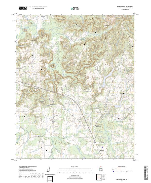
2024 Masterson Mill
Lawrence County, AL
2024 Oakville
Lawrence County, AL
2024 Upshaw
Lawrence County, AL
2026 Upshaw
Lawrence County, AL